Tag Page ScenicTrails

#ScenicTrails
Mrs. Andrea Ayala

Reinhardt Redwood Regional Park Hiking 🌲🚶‍♂️

Hard to believe this beautiful gem is only about 20-30 mins from downtown Oakland! 😮 Discover the enchanting beauty of Reinhardt Redwood Regional Park on this hiking adventure. Hike information: 📋 🅿️ Free parking at Skyline Gate Staging Area 🥾 Take West Ridge Trail to Tres Sendas Trail, then explore the "ancient trees" section of Stream Trail, before returning to the parking lot along Stream Trail. 🏃 The hike covers approximately 4.3 miles of scenic trails. ⛰️ Be prepared for an elevation gain of around 580 ft. 🐶 Enjoy the most dog-friendly hike ever! Reinhardt Redwood Regional Park has designated off-leash sections, making it a perfect outing for your furry friend. 🐕 So grab your hiking boots and get ready for a memorable adventure amidst the towering redwoods and picturesque landscapes! 🌳🌿 #ReinhardtRedwoodPark #Hiking #NatureAdventures #OaklandTrails #DogFriendlyHike #RedwoodForest #ScenicTrails #OutdoorExploration #BayAreaLife #HappyHiking

Reinhardt Redwood Regional Park Hiking 🌲🚶‍♂️Reinhardt Redwood Regional Park Hiking 🌲🚶‍♂️Reinhardt Redwood Regional Park Hiking 🌲🚶‍♂️Reinhardt Redwood Regional Park Hiking 🌲🚶‍♂️
Christopher Gilbert

How About Exploring Point Bonita Lighthouse in Marin Headlands?

📍 Point Bonita Lighthouse Hike in Marin Headlands 🏞️ Get ready for an unforgettable adventure in the Marin Headlands! The Point Bonita Lighthouse hike is a must-do activity when exploring the Golden Gate National Recreation Area. 🚶 Trail Details: - Difficulty: Easy - Distance: 1.0 mile (round-trip) - Trail Type: Out-and-back - Elevation Gain: 170 feet - Highest Elevation: 209 feet - Best Time to Hike: Year-round - Crowds: Come before 12:00 pm or after 3:30 pm - Footwear: Sneakers - Sun Exposure: Protect yourself - Restrooms: Available at the trailhead - Pets: Not allowed - Time Needed: 30-60 minutes 😍 The Hike: Starting from the parking area, the trail quickly descends with stunning views of the Golden Gate Bridge and the San Francisco Bay. Although it may be a bit steep at times, it's totally doable for hikers of all levels. Just be mindful of the conditions for the return hike. 🌉 Suspension Bridge: About 0.25 miles into the trail, you'll reach a hand-carved tunnel. After passing through it, a small bridge awaits, leading you to the landing area just before the main attraction—the suspension bridge. With a length of 156 feet and standing 124 feet above the water, the bridge is a rarity in hiking trails. Don't miss the chance to cross it and admire the breathtaking views! ⏰ Lighthouse Access: Access to the suspension bridge and Point Bonita Lighthouse is limited and manned by volunteers. Hours are from 12:30 pm to 3:30 pm on Sundays and Mondays. Be prepared for possible waiting times to enter the lighthouse, as the number of visitors inside is restricted. Though, the wait is totally worth it! 🐬 Wildlife Delight: While here, be sure to check out the harbor seals below. Their presence adds to the charm of the area, and you might even hear their noisy chatter mingling with the crashing waves. Get your hiking shoes ready and embark on this scenic adventure to Point Bonita Lighthouse in Marin Headlands. 🌄✨ #MarinHeadlands #HikingAdventures #PointBonitaLighthouse #GoldenGateRecreationArea #ScenicTrails #ExploreMore #BayAreaBeauty #NatureLovers #CoastalViews #AdventureAwaits

How About Exploring Point Bonita Lighthouse in Marin Headlands?How About Exploring Point Bonita Lighthouse in Marin Headlands?How About Exploring Point Bonita Lighthouse in Marin Headlands?
Christian Russo

The Tule Elk population roams the Point Reyes National Seashore

🦌 The Tule Elk population roams the Point Reyes National Seashore, known for its stunning bluffs, rolling hills, and pristine shoreline. The park entrance is just an hour from San Francisco, making it a favorite spot for hiking and scenic day trips. ✨Point Reyes Attractions: The park boasts several notable attractions, including a historic lighthouse perched on ocean-front cliffs. But one incredible sight that visitors can regularly see is the majestic Tule Elk that roam the park. 🚶‍♀️ Tomales Point Trail: For hikers looking to spot these magnificent creatures, the Tomales Point Trail is the perfect spot. The trail has three lengths, catering to hikers of all levels. - The first is a short 2-mile round trip to Windy Gap. - The second is a moderate 6-mile hike to Lower Pierce Point Ranch site. - The final option is a 9.5-mile journey to the point itself. 🐕 Dog and Regulations: Remember that dogs are not allowed in the park, and it's important to stay on designated trails while hiking. Before your visit, check the park's regulations to ensure your trip goes smoothly. 📍 Come and experience the beauty of Point Reyes and witness the majestic Tule Elk in their natural habitat! Hashtags: #PointReyes #TuleElk #OutdoorAdventures #HikingTrip #NatureWonders #CaliforniaParks #WildlifeWatching #ScenicTrails #SanFranciscoEscape #ExploreCalifornia

The Tule Elk population roams the Point Reyes National SeashoreThe Tule Elk population roams the Point Reyes National SeashoreThe Tule Elk population roams the Point Reyes National SeashoreThe Tule Elk population roams the Point Reyes National Seashore
Steven Arnold

California Living | Hidden Gem Hiking Spot Recommended by Bay Area Locals

📍 Rancho San Antonio Open Space Preserve: This lesser-known hiking spot in the Bay Area offers breathtaking views and a unique experience for all levels of hikers. Here's what makes it special: 🌾 Farm Animals and Wildlife: Not only can you enjoy the scenic trails, but you can also visit a farm with adorable sheep, pigs, and rabbits 🐑🐷🐰. Keep your eyes peeled, because you might even spot some majestic deer 🦌 and funny turkeys 🦃 along the way! 🅿️ Convenient Parking: Don't worry about finding parking! The Rancho San Antonio Parking Lot has plenty of spaces available. Aim for Lots 2-6, as Lot 1 is a bit farther away. No stress, more time to explore! 🐾 Trail Options: Choose a trail that suits your preferences and time frame. Whether you're looking for a quick 30-minute stroll or a longer 2 to 5-hour hike, Rancho San Antonio has got you covered. For a relaxing and enjoyable hike with stunning views, we recommend trying out the Deer & Hollow Farm Trailhead. 📷 Picture-Perfect Moments: Don't forget your camera! Capture incredible photos at the High Meadow Vista Point, where you might encounter friendly deer with their mesmerizing eyes. And let's not forget about the plump and amusing turkeys that are bound to make you smile. 🌷 Get Outdoors and Recharge: With its great weather and beautiful scenery, Rancho San Antonio Open Space Preserve is the perfect getaway to relax, recharge, and enjoy the wonders of nature. So grab your water, sunscreen, and a sense of adventure, and have an amazing time exploring this hidden gem! #CaliforniaLiving #HikingSpot #BayArea #RanchoSanAntonio #NatureAdventure #OutdoorFun #HiddenGem #ScenicTrails #FamilyFriendly #GetOutdoors

California Living | Hidden Gem Hiking Spot Recommended by Bay Area LocalsCalifornia Living | Hidden Gem Hiking Spot Recommended by Bay Area LocalsCalifornia Living | Hidden Gem Hiking Spot Recommended by Bay Area LocalsCalifornia Living | Hidden Gem Hiking Spot Recommended by Bay Area LocalsCalifornia Living | Hidden Gem Hiking Spot Recommended by Bay Area Locals
Christopher Gilbert

Daily Hiking Routine | Hidden Gem Trail Recommendation

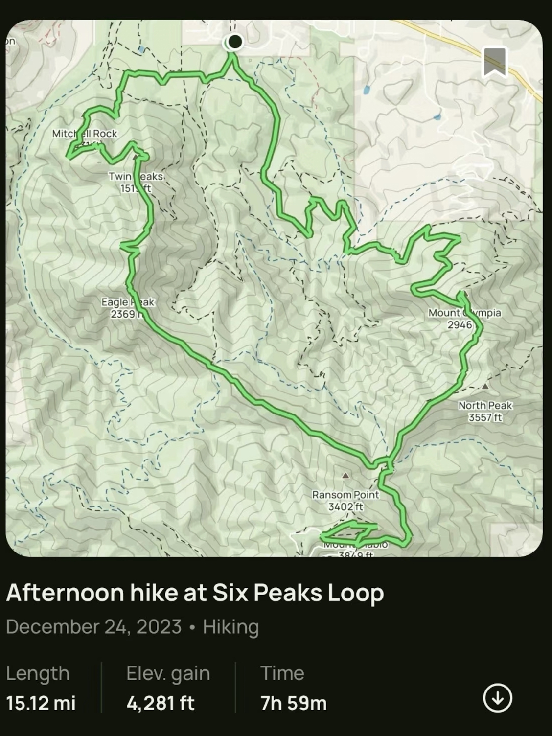
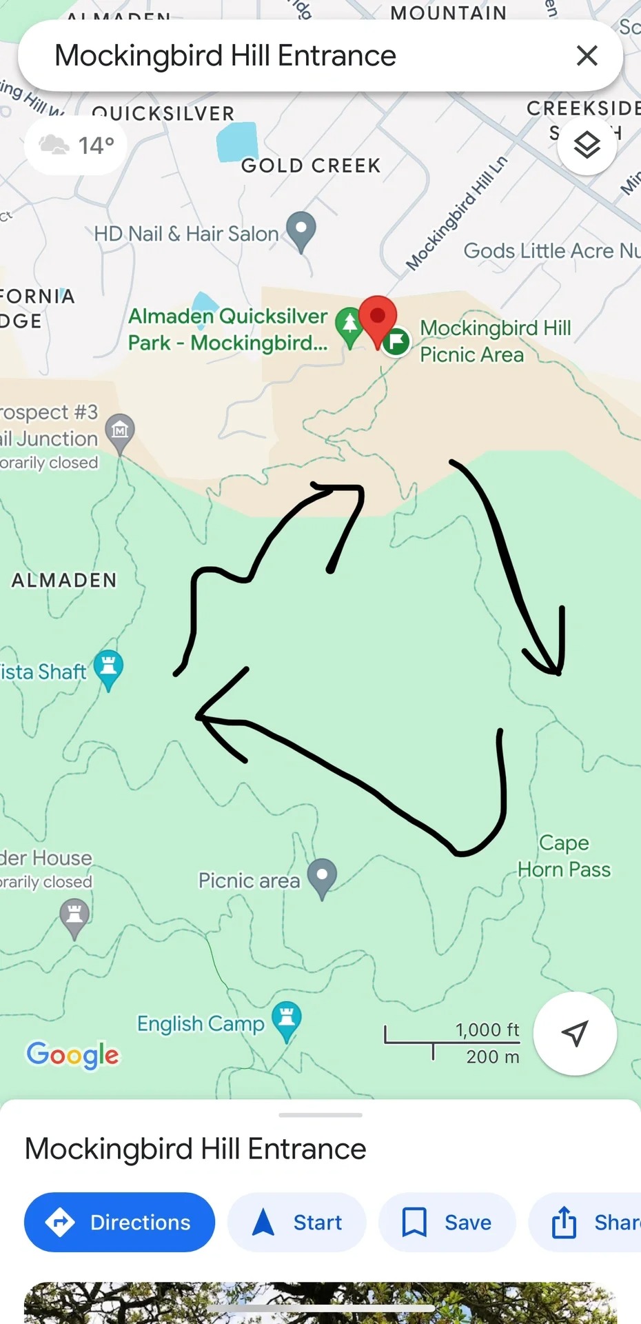
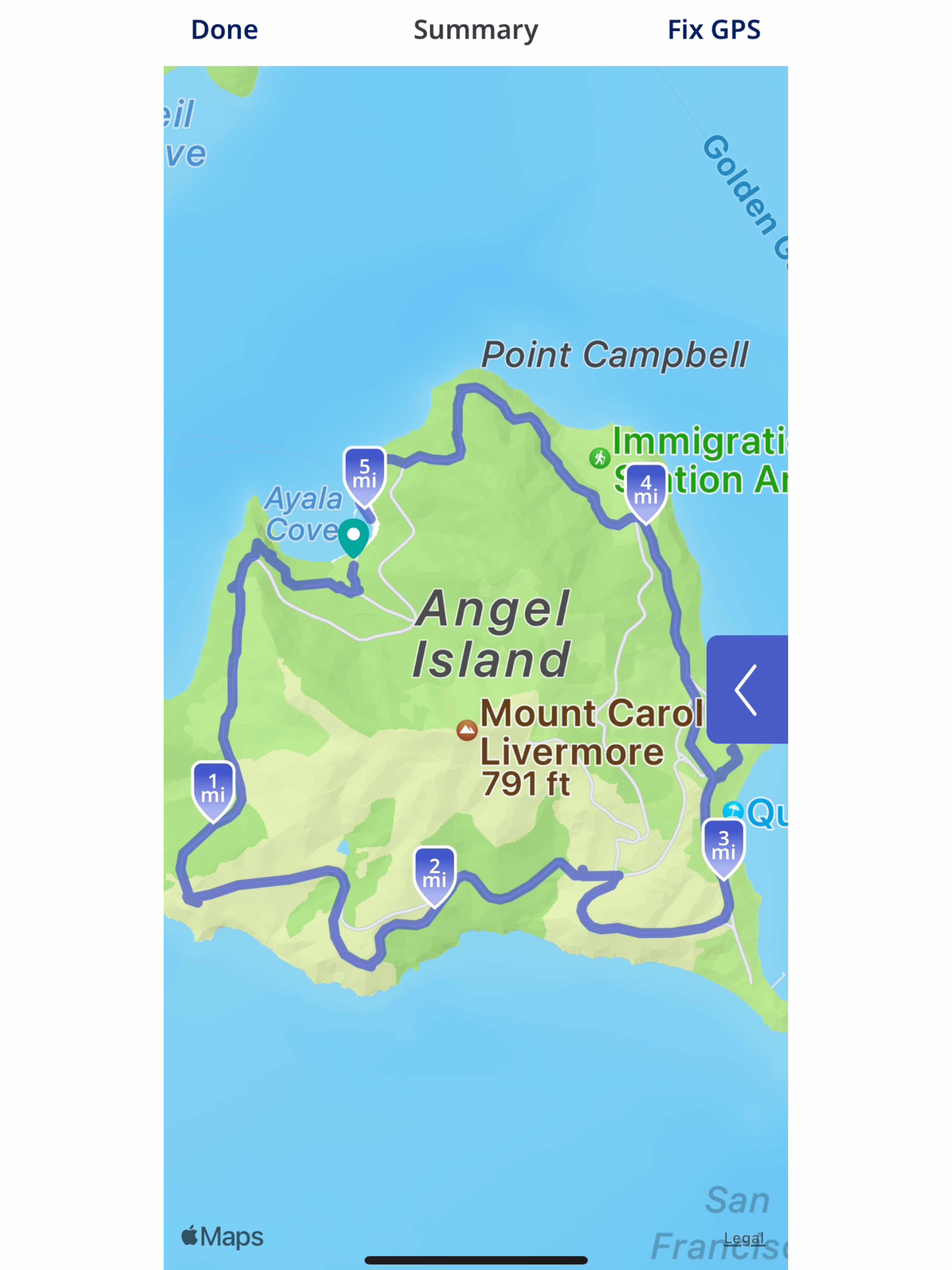
📍Location: Almaden Quicksilver County Park, check the map in the last picture ⌚️Duration: 2-4 hours 
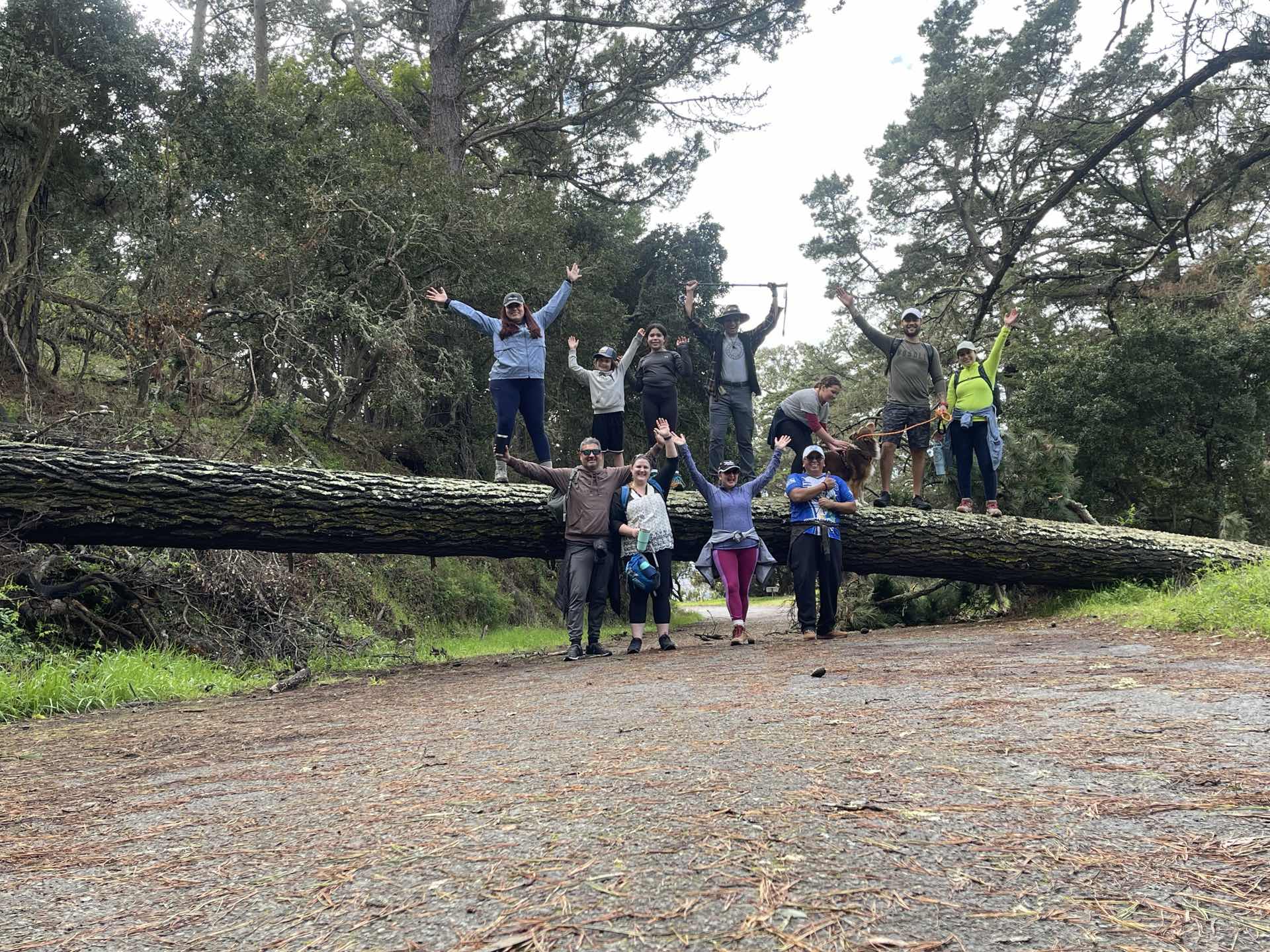
Hey fam! So, I recently went on this spontaneous hiking adventure with my friends and stumbled upon an absolute hidden gem of a trail. Let me fill you in on all the deets! 🌳🌲⛰️ 
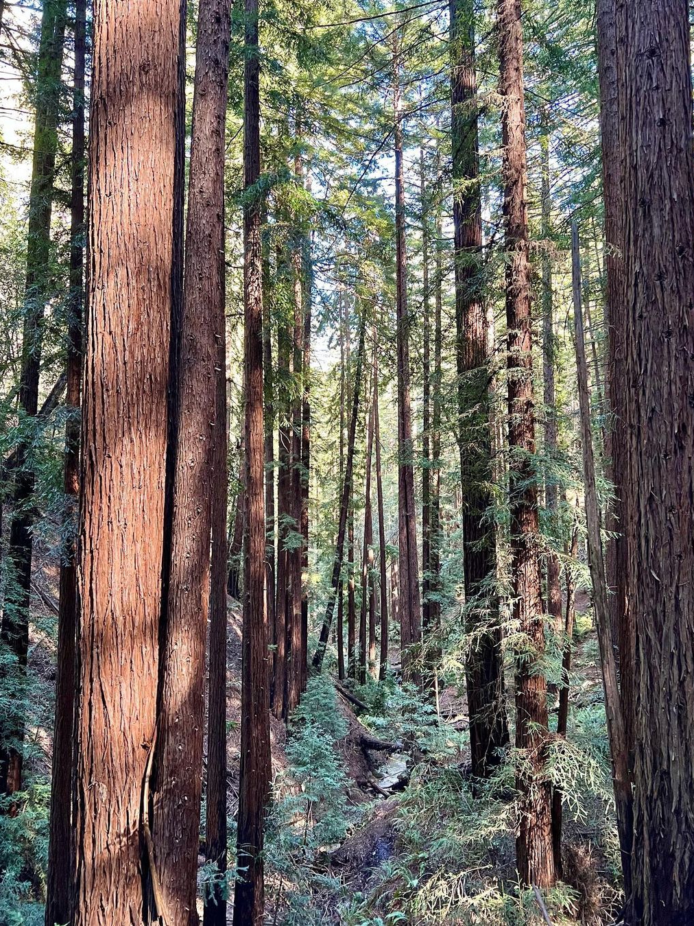
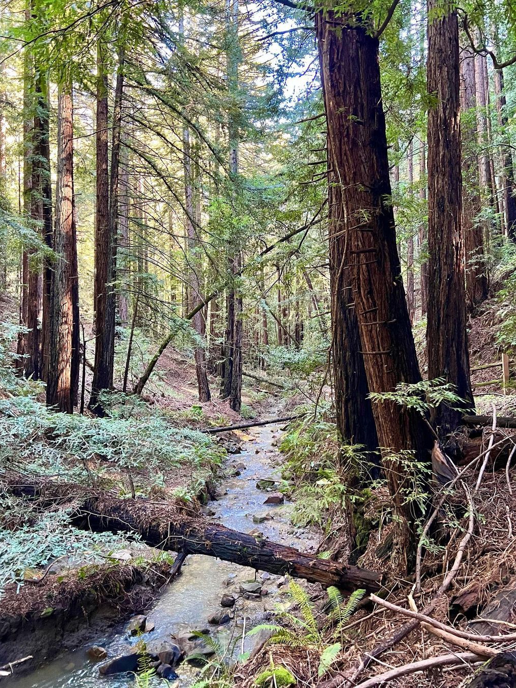
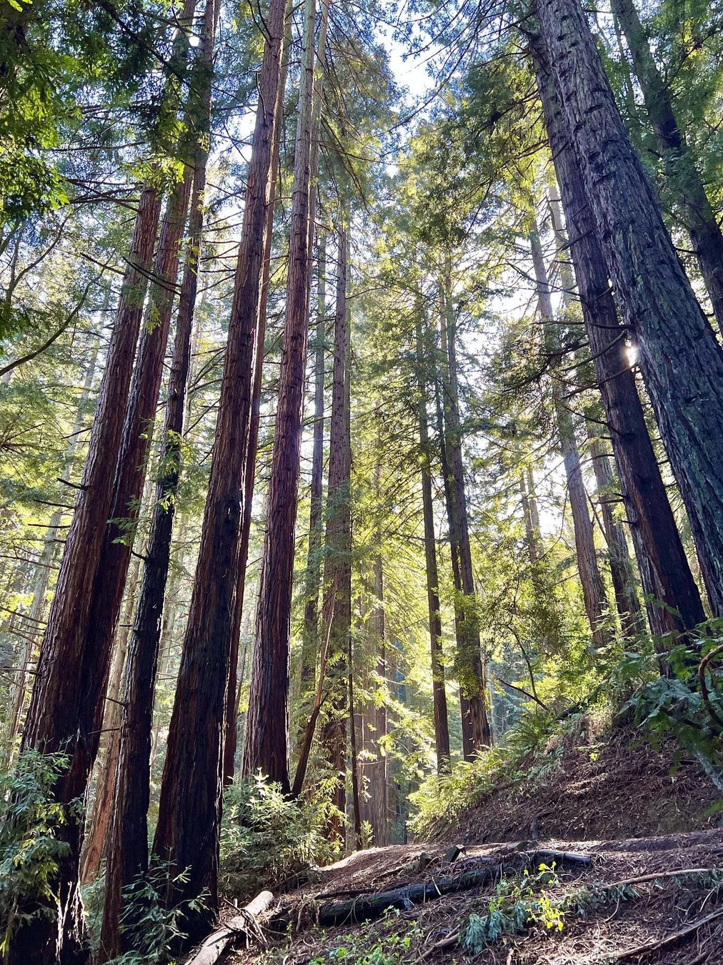
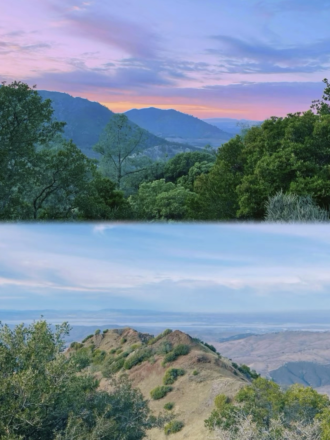
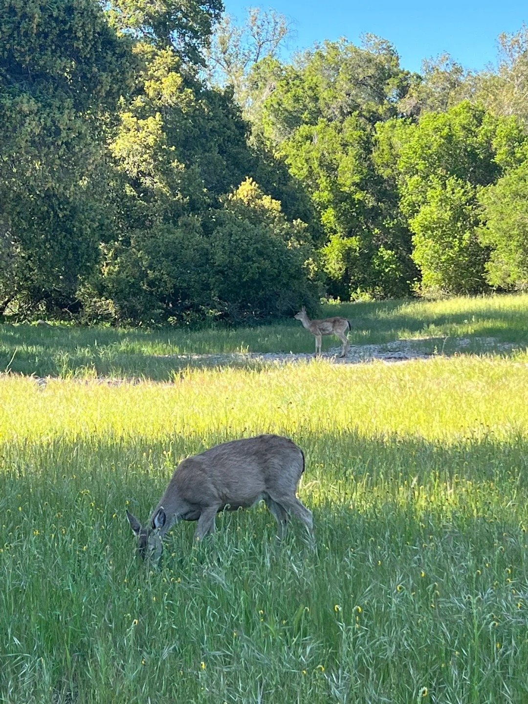
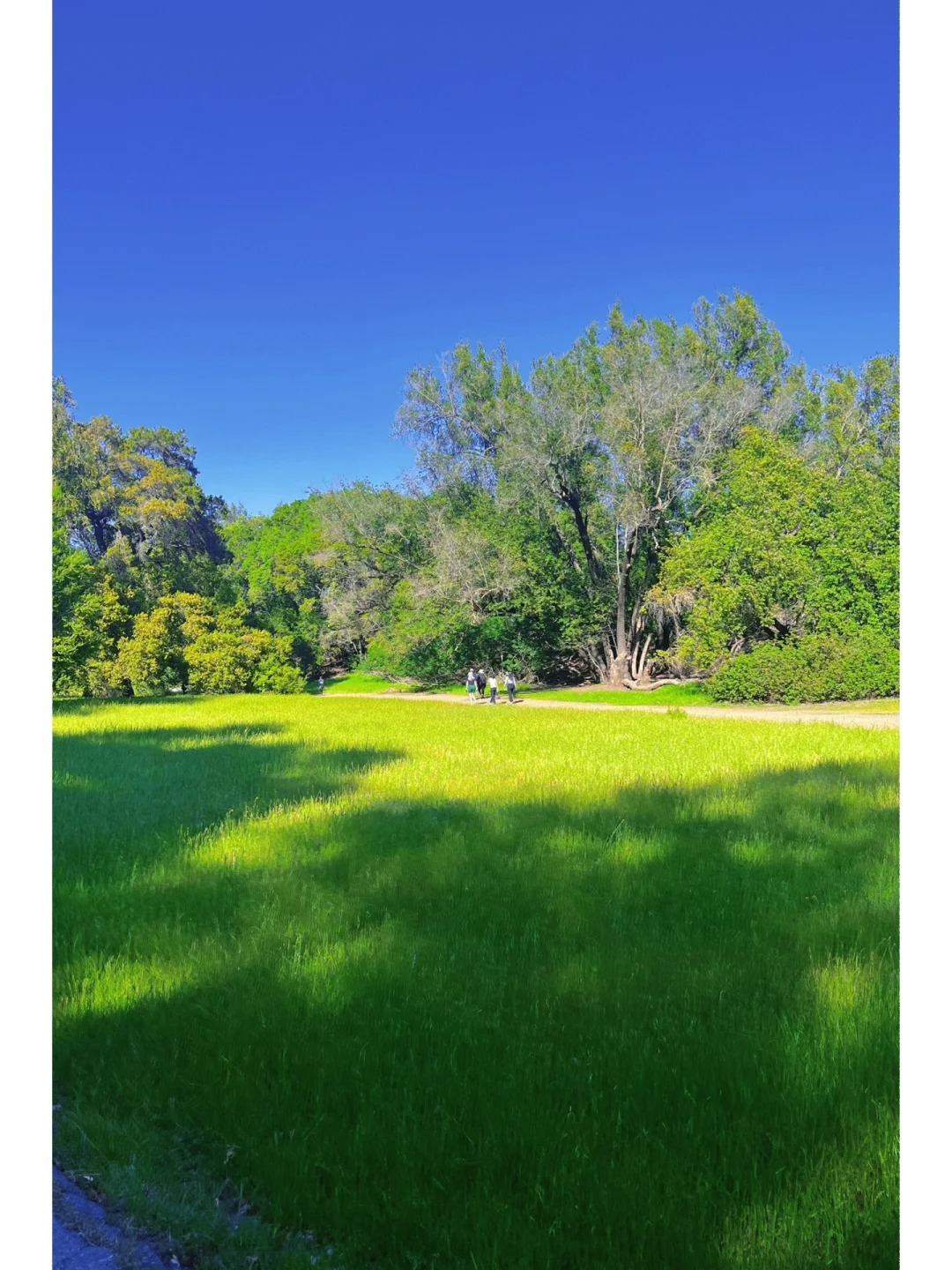
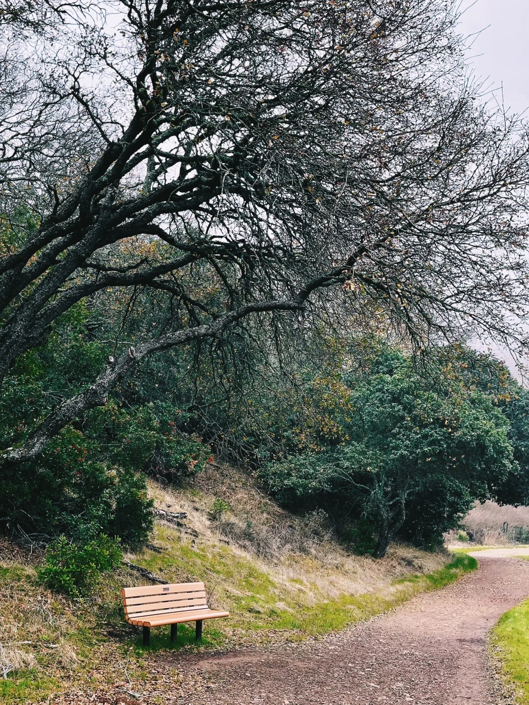
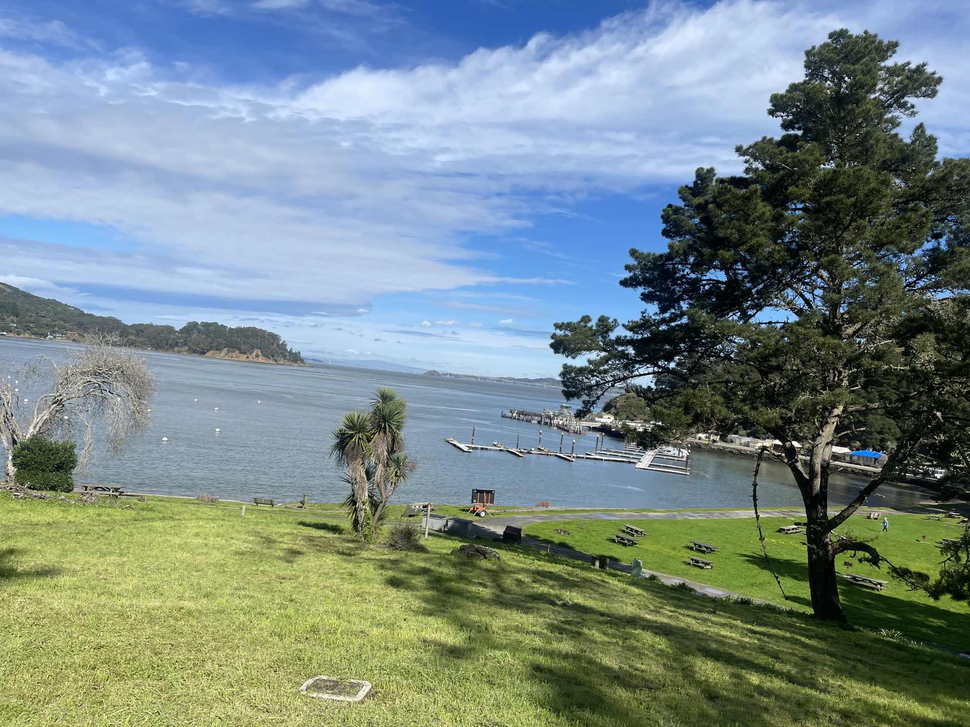
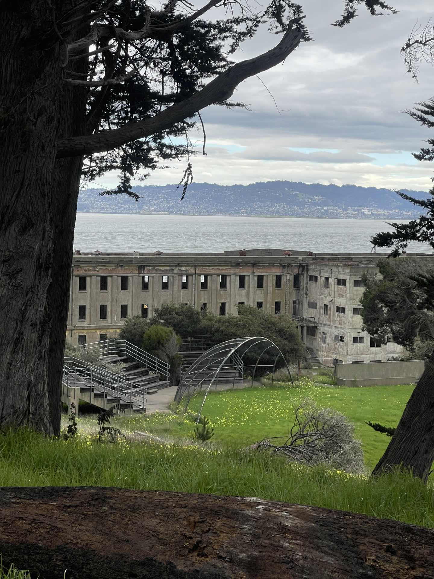
The trail is located at Almaden Quicksilver County Park, and let me tell you, the environment is totally fantastic. The best part? It's not too crowded, so you can soak in the serenity of nature without being surrounded by tons of people. 
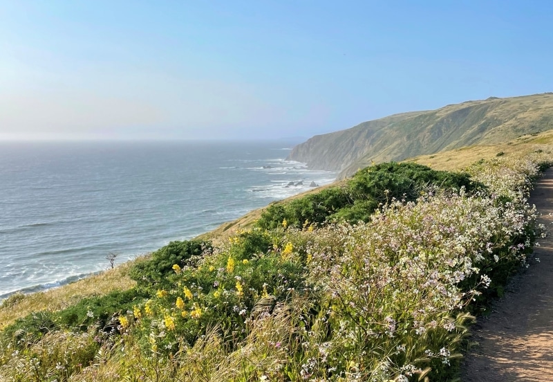
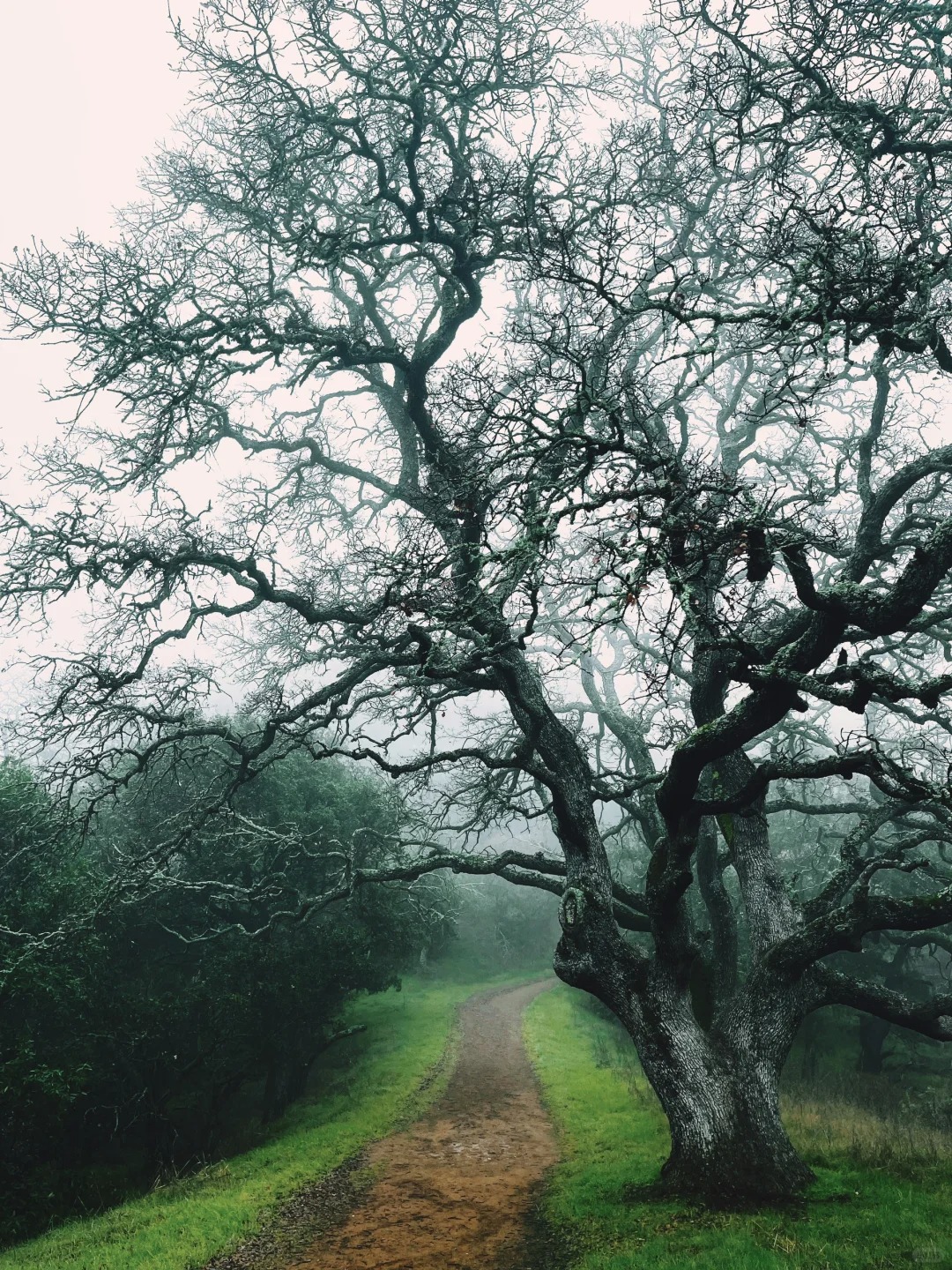
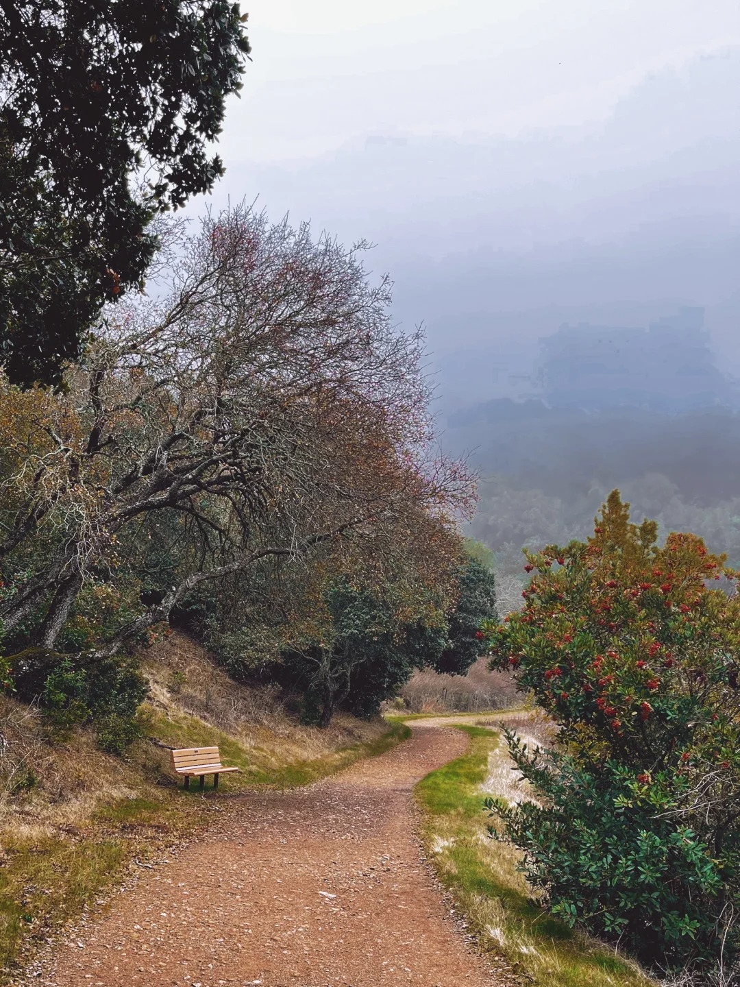
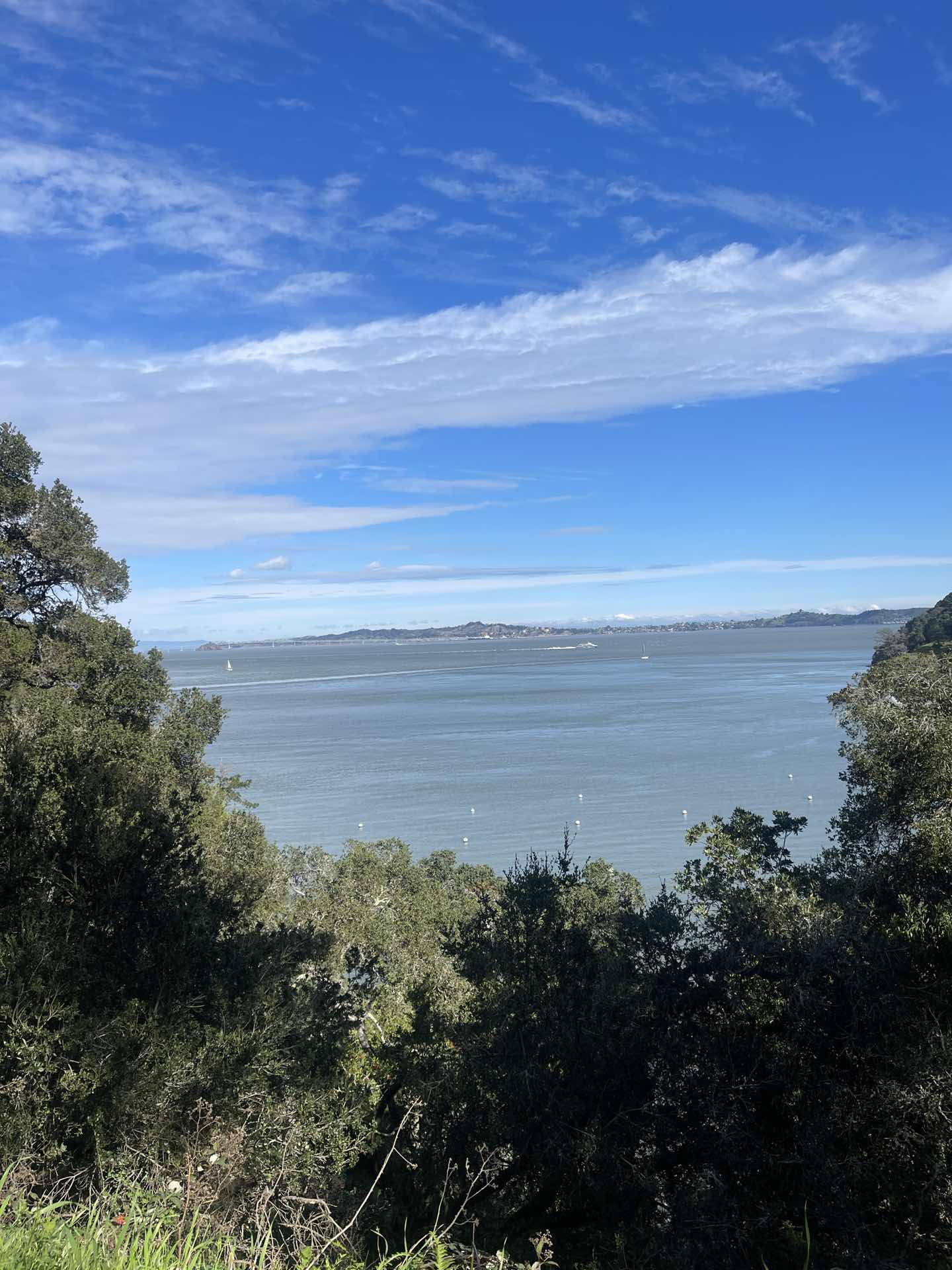
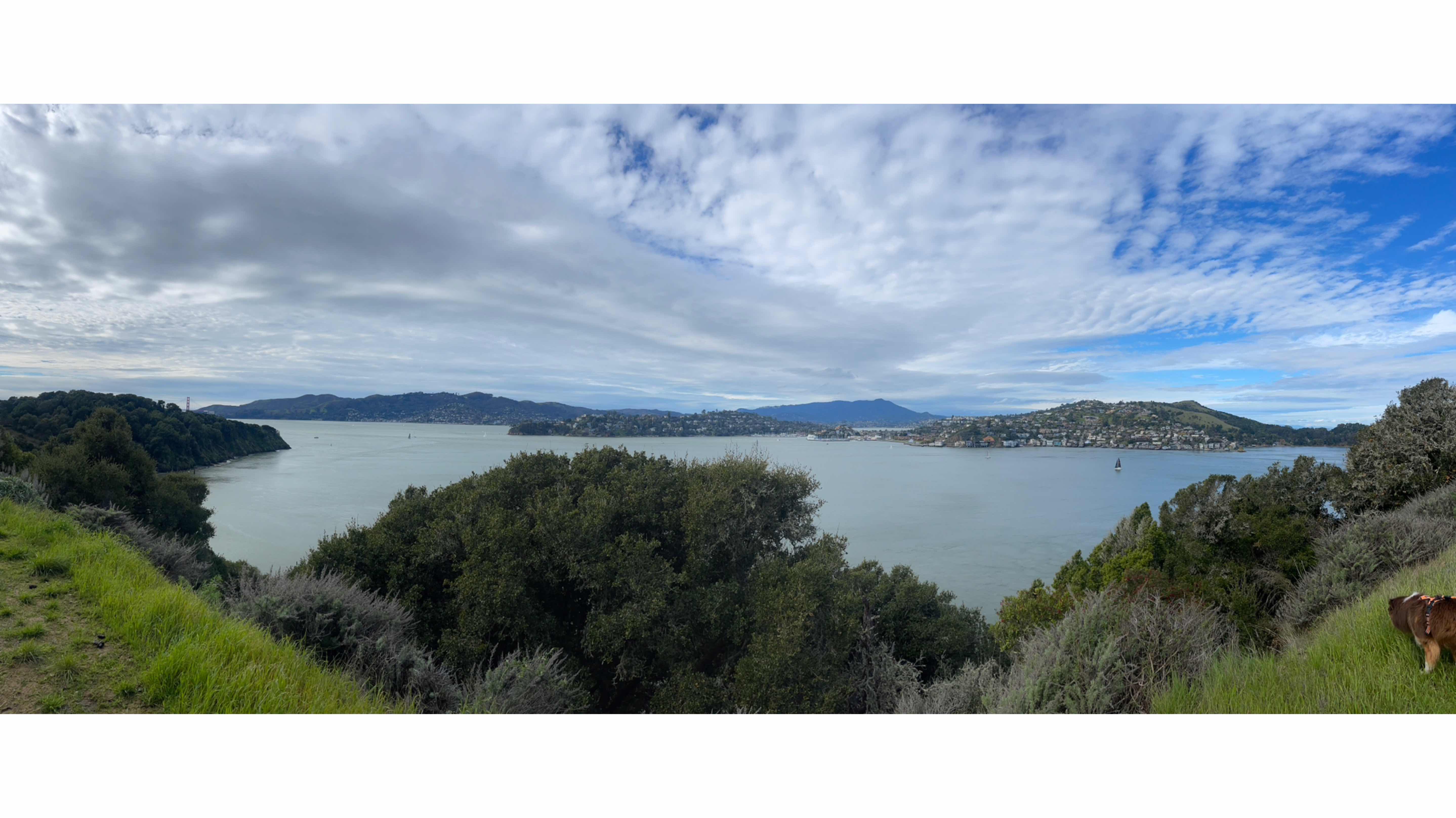
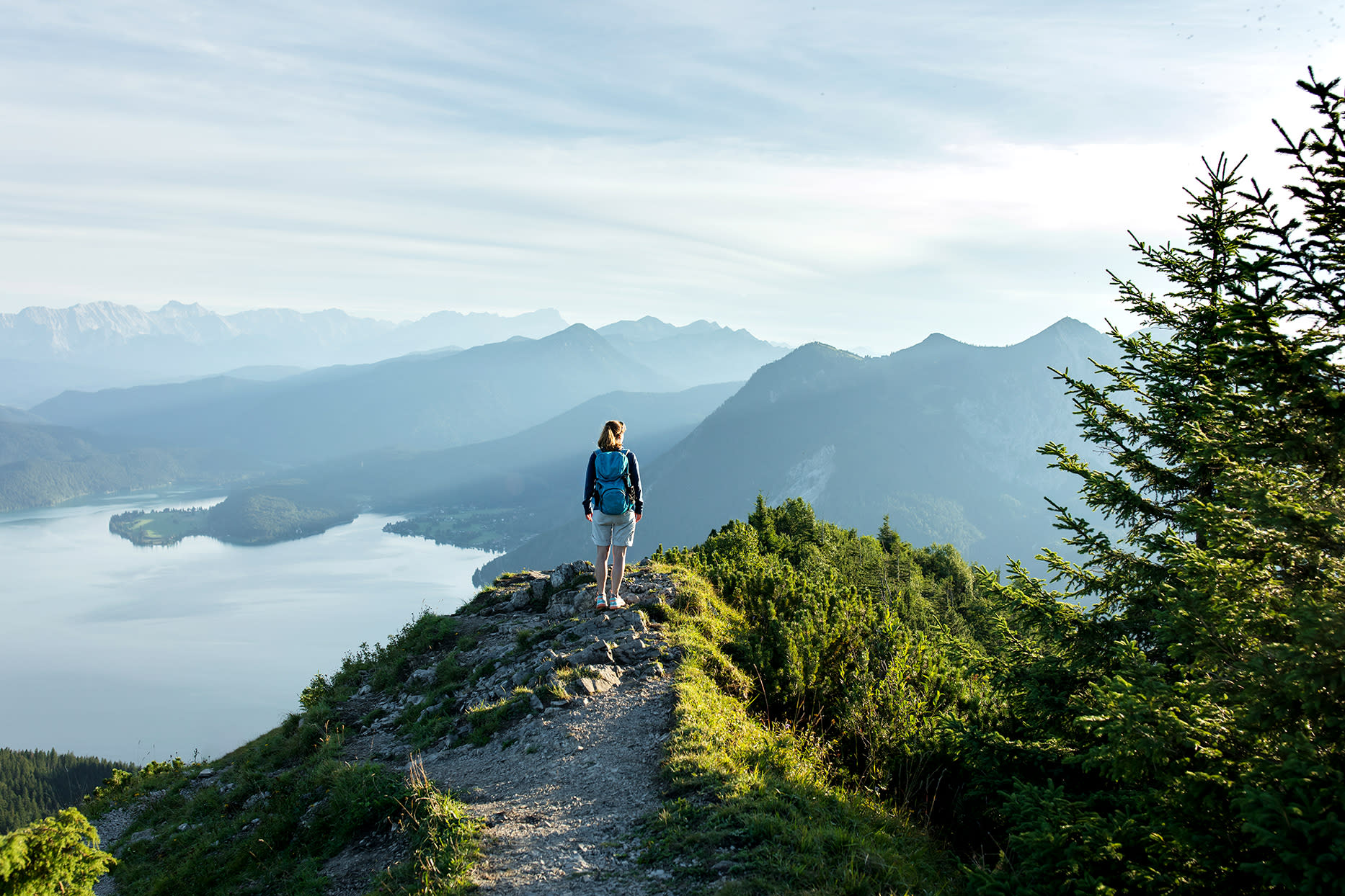
Now, the hike itself involves some uphill climbs, but trust me, it's totally worth it. As you make your way up, you'll be treated to a breathtaking panoramic view of South San Jose. 🌇 Unfortunately, when I went, the fog was pretty thick, so visibility was a bit low. But guess what? It only added to the mysterious and serene vibes of the mountains. 🌫️ Let's talk about the logistics, shall we? The temperature was around 10 degrees Celsius at noon, so make sure to dress warmly. A hoodie should do the trick on a foggy day like mine. 
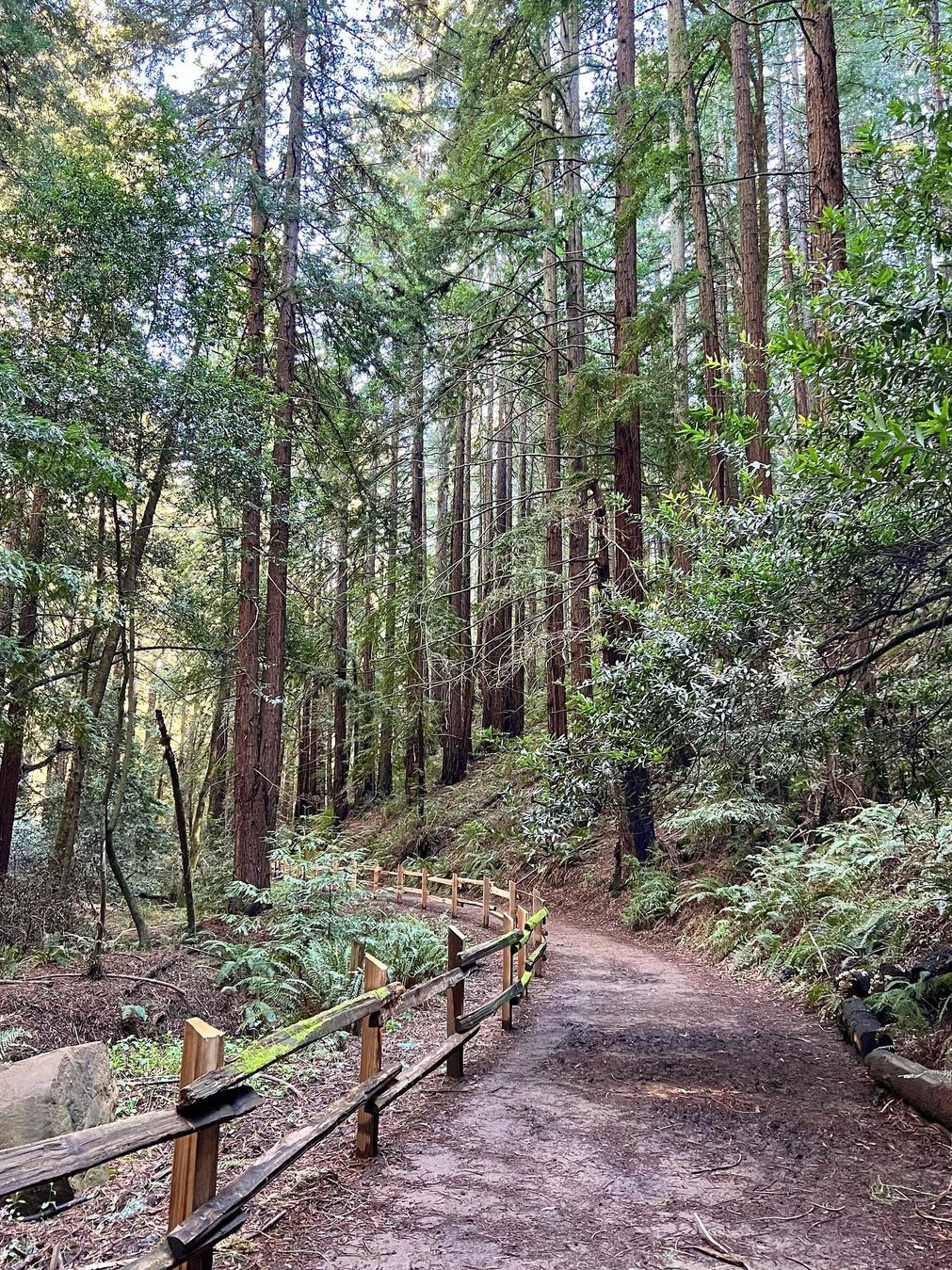
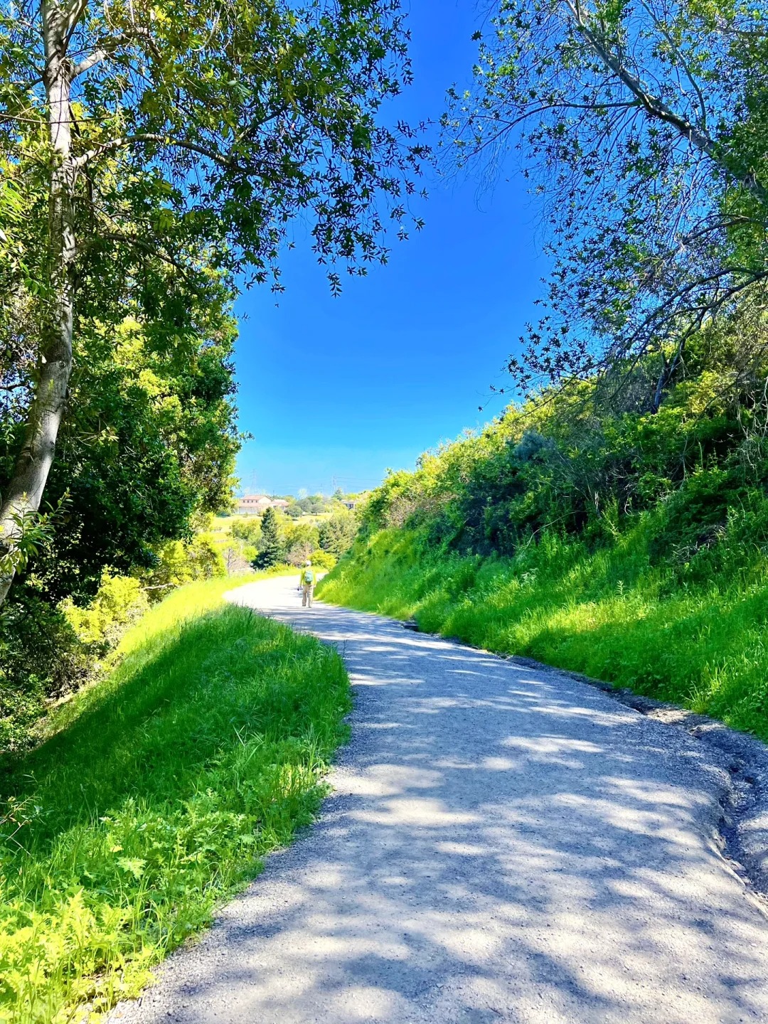
Now, for the route. Almaden Quicksilver County Park has a bunch of trails to choose from, but I highly recommend the one I took, which lasts for about two hours. Here's the breakdown of it: 1️⃣ Enter from the Mockingbird Hill Entrance (which conveniently has a parking lot). 2️⃣ Start off by taking the Hacienda Trail. 3️⃣ Then, make your way onto the Capehorn Trail. 4️⃣ Next, hop onto the Randol Trail. 5️⃣ From there, transition to the Buean Trail. 6️⃣ Finally, finish off the hike with the New Almaden Trail. 
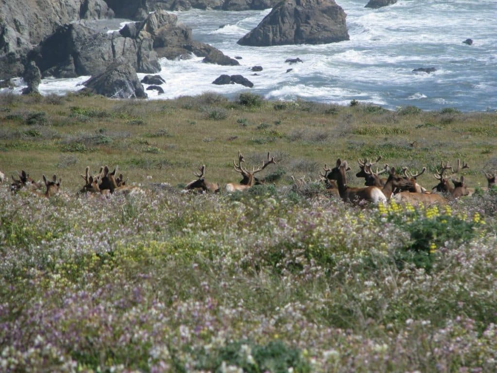
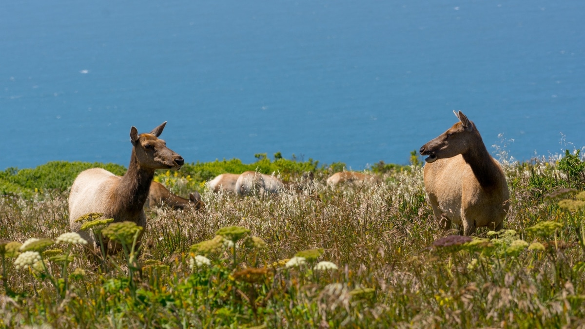
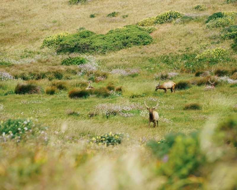
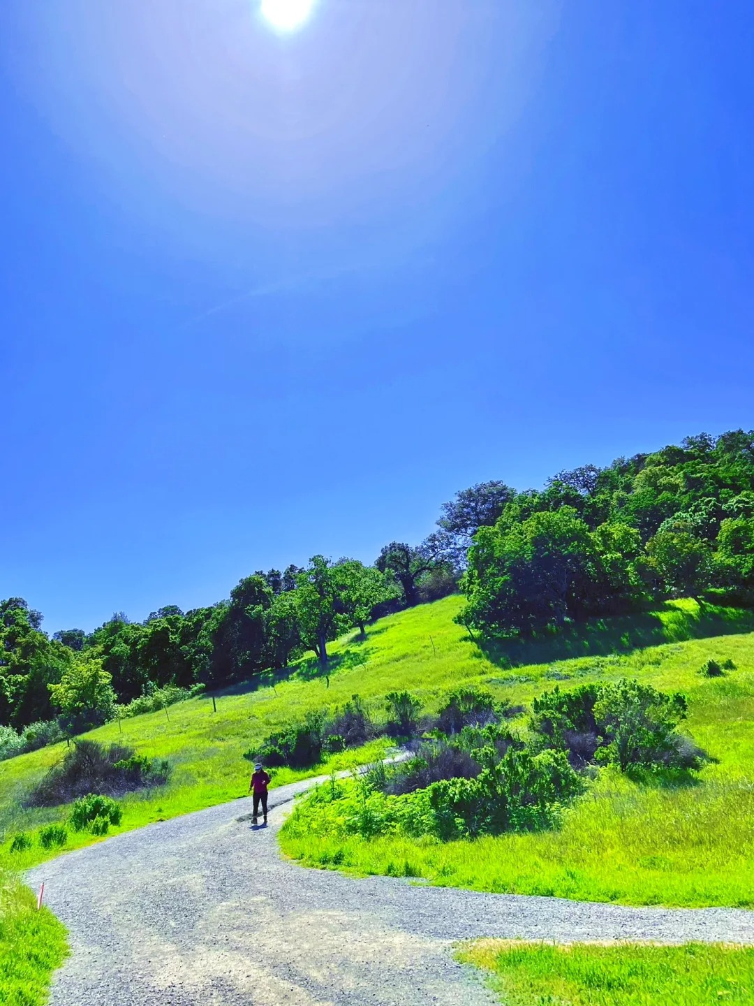
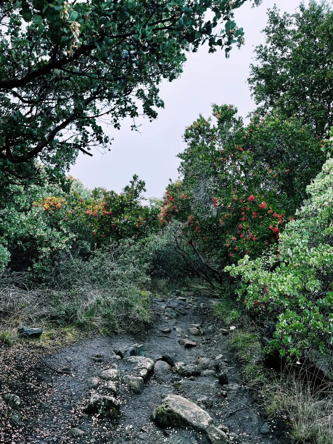
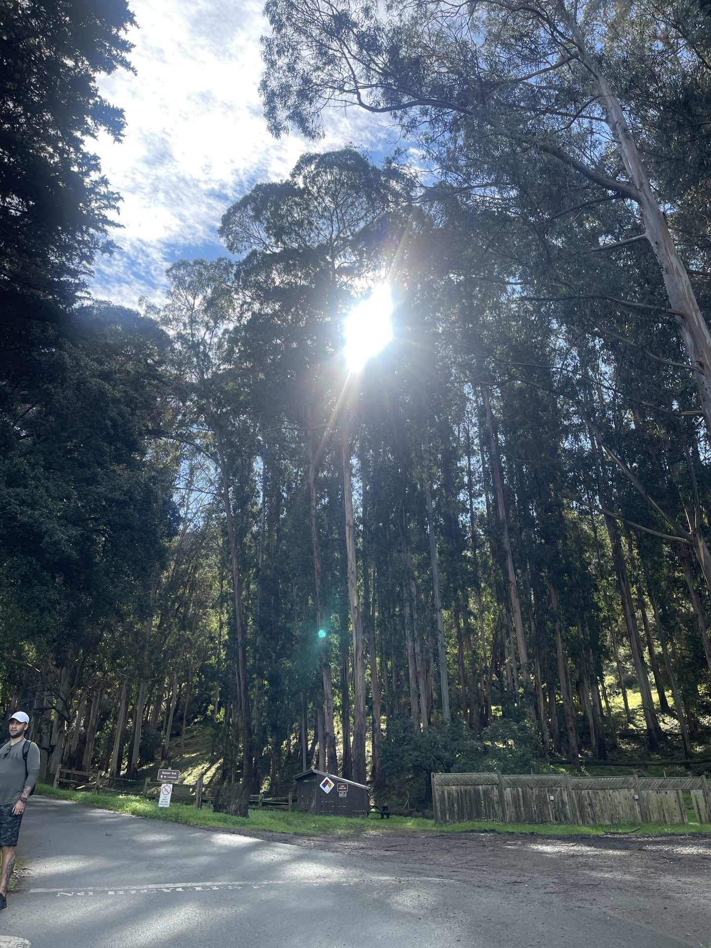
The latter part of the route is mostly downhill, which is a nice change of pace. It might be a bit challenging at first, but trust me, the reward is totally worth it. As you wind your way through the bushes, you'll be greeted by an array of vibrant and playful flowers. 🌺 Approximately 70% of the route is shaded by trees, so no matter which season you're hiking in, you'll have some relief from the sun. So what are you waiting for? Grab your squad, pack some snacks, and head over to Almaden Quicksilver County Park for an epic hiking adventure. Trust me, you won't be disappointed! 🥾🌞 #HikingAdventures #HiddenGemTrails #AlmadenQuicksilver #NatureExploration #MountainViews #TakeAHike #OutdoorLovers #ScenicTrails #HikingIsLife #ExploreTheOutdoors

Daily Hiking Routine | Hidden Gem Trail RecommendationDaily Hiking Routine | Hidden Gem Trail RecommendationDaily Hiking Routine | Hidden Gem Trail RecommendationDaily Hiking Routine | Hidden Gem Trail RecommendationDaily Hiking Routine | Hidden Gem Trail Recommendation
ArcticNomad

hunting for the perfect scenic trail after weight loss

I’ve been on this wild ride to lose 80 pounds, and I’m finally 25 pounds down. My husband and I made a deal: once I hit my goal, we’ll celebrate by hiking the most beautiful trail in the U.S. The thing is, I live in the desert, so my idea of a hike is more like a long, sweaty walk with zero shade and even less elevation. I keep seeing these jaw-dropping photos of mountain trails with lakes and forests, but honestly, I’m a little worried about the altitude. I’ve heard stories about people getting winded just tying their shoes at higher elevations! I want a trail that’s not going to leave me gasping for air or regretting every life choice, but still gives us those epic views you see on postcards. Ten miles or less is my sweet spot—let’s be real, I’m not trying to win any marathons here. Has anyone found a trail that checks all the boxes: gorgeous scenery, not too tough, and doable in a day? I’d love to hear about your experiences, especially if you’ve tackled this after living somewhere flat and dry like me. And if you’ve got photos, even better! Sometimes I wonder if these places are as magical as they look online, or if I’ll just end up with blisters and a sunburn. #hikingadventures #weightlossjourney #scenictrails #Travel

hunting for the perfect scenic trail after weight loss
Robin Nichols

⛰️Trail Recommends | The Complete 10-Hour Hike to the Bay Area's Highest Peak

🏞️ Exploring the Bay Area's Highest Peak: A 10-Hour Hike ⛰️ 🌟Route Introduction: - Take on the Six Peaks Loop, a challenging 15-mile trail with a 4600ft climb. - This trail is recognized as a preparation route for Half Dome. - A group of us started the hike at 7:30am on December 24th and finished at 5:30pm, totaling 10 hours. - While I felt okay after the hike, my teammates, who don't exercise as much as I do, found it tough but rewarding. - Next year, we're planning to challenge Half Dome and Mt Whitney, and we agree that the Six Peaks Loop was excellent training. 🌟 Parking: - I recommend parking at Mountaire Parkway due to the parking lot at Mitchell Canyon opening at 8am and closing at sunset. - Slow climbers might risk being locked in if they park at Mitchell Canyon. - On our day, the sun set at 4:50pm, and we ended up running back to the car with flashlights on our cell phones. - Parking at Mountaire Parkway allowed us to make it back in time. 🌟 Climbing Process: - I highly recommend going counterclockwise on the loop (more on that later). - The first three peaks were not too difficult and we enjoyed them with laughter and jokes. - Diablo summit was more tiring, but the picturesque mountains along the way and the promise of ice cream at the summit kiosk kept us motivated. - Resting for half an hour, we continued to the last two peaks, which presented a challenge. - The route between North Peak and Mt Olympia is narrow, steep, and slippery, with overgrown vegetation. Be prepared to bend down to avoid tree branches frequently. - Hiking poles were essential in preventing slips, and we don't recommend doing the loop clockwise as the conditions for the second half are not as pleasant overall. 🌟 Lazy Route: - If you prefer a less challenging option, you can drive up to the summit. - The view from the top is average, but you can walk down towards the Devils Pulpit neighborhood for some beautiful photo opportunities. #BayAreaHiking #HikingAdventures #OutdoorExploration #SixPeaksLoop #MountDiablo #ScenicTrails #HalfDomePreparation #MtWhitneyChallenge #HikingTips #NatureLovers

⛰️Trail Recommends | The Complete 10-Hour Hike to the Bay Area's Highest Peak⛰️Trail Recommends | The Complete 10-Hour Hike to the Bay Area's Highest Peak