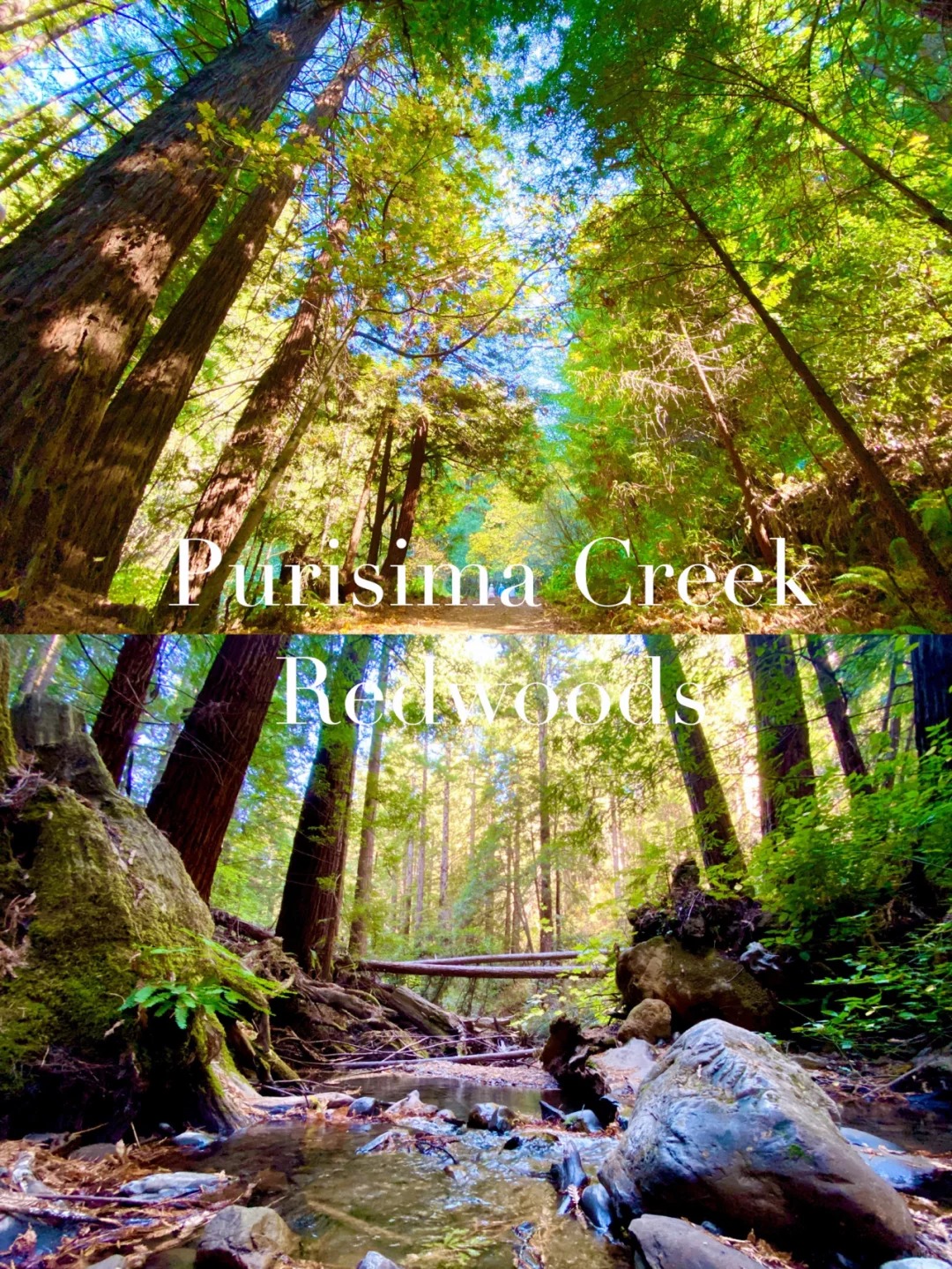
ULTIMATE HIKING GUIDE&TIPS FOR LANDS END TRAIL: SAN FRANCISCO
I've been living in San Francisco for over a year now and without a doubt, the Lands End Trail is my favorite hike in San Francisco. Whenever I have a family member or friend visit, I force encourage them to hike it with me. The views of Ocean Beach, Sutro Baths, The Labyrinth, and The Golden Gate Bridge are beautiful and never get old. I firmly believe any San Francisco itinerary should include this hike. Lucky for you, I've made a comprehensive guide to help you witness these iconic views of San Francisco.
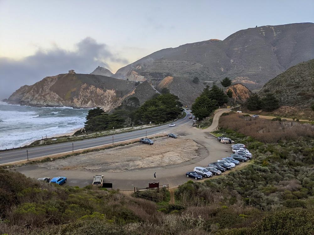
🚗 Lands End Parking:
- Lands End Main Parking Lot: Free parking for 4 hours (Merrie Way, San Francisco, CA 94121).
- Sutro Heights Park Public Parking: Free parking, located south, across the street from Lands End Main Parking lot (846 Point Lobos Ave, San Francisco, CA 94121).
- Parking on La Playa St.: Great for additional views, street sweeping on specific days (734 La Playa St. San Francisco, CA 94121).
🚶♂️ Lands End Trail Information:
- Round trip distance of 3.4 miles with a 534 ft elevation gain.
- Recommended time: 2.5 to 3.5 hours including breaks.
- Park on La Playa St. for extra stairs and views.
☁️ Weather at Lands End:
- San Francisco is often cloudy and foggy. Check the weather before you go.
- Mornings are usually foggy, but afternoons clear up.
- It can be windy, so be prepared!
🌅 Best Time of Year to Hike:
- Any time of the year is suitable.
- Mid-late summer to fall usually has the clearest skies and least rainfall.
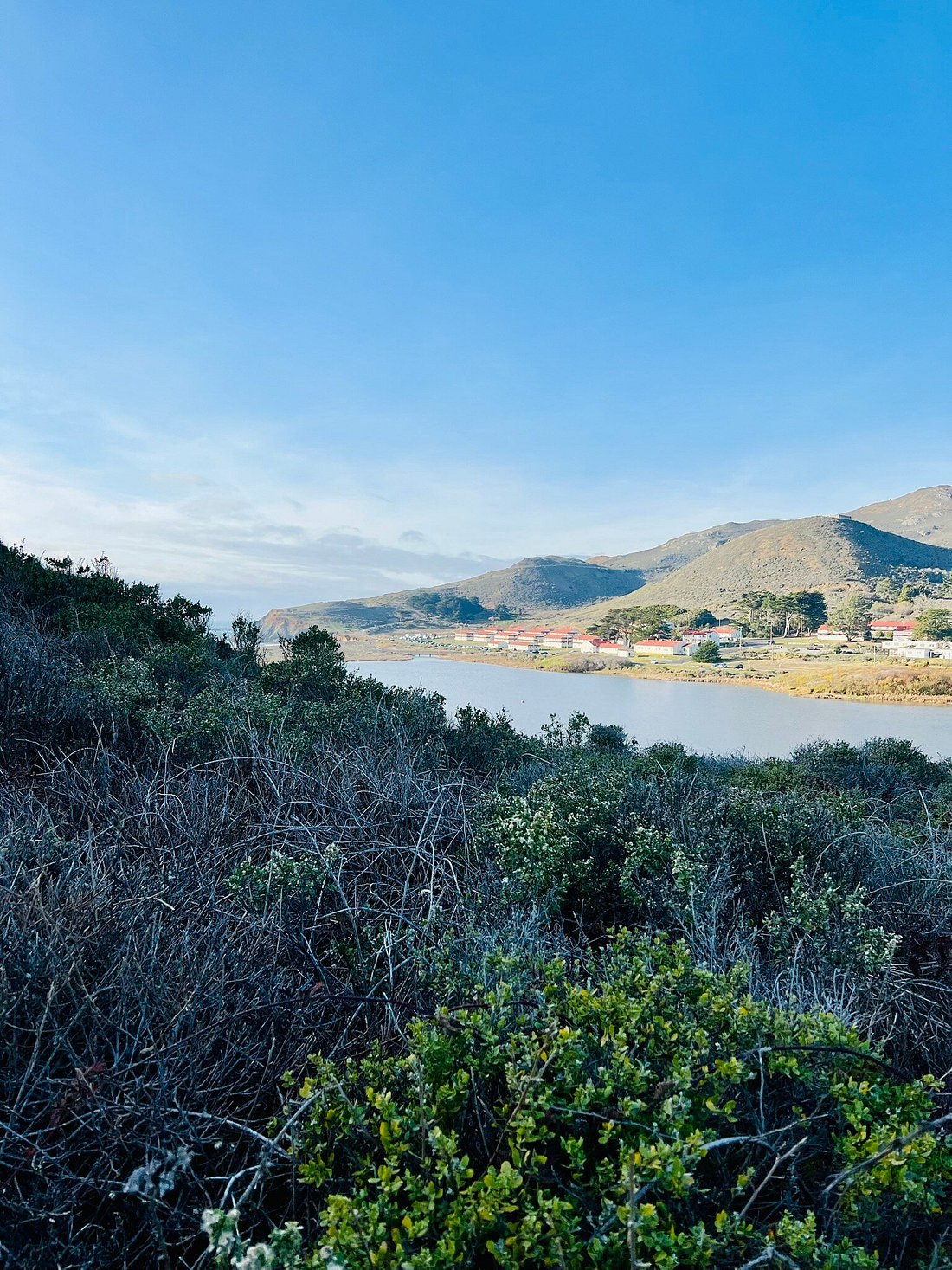
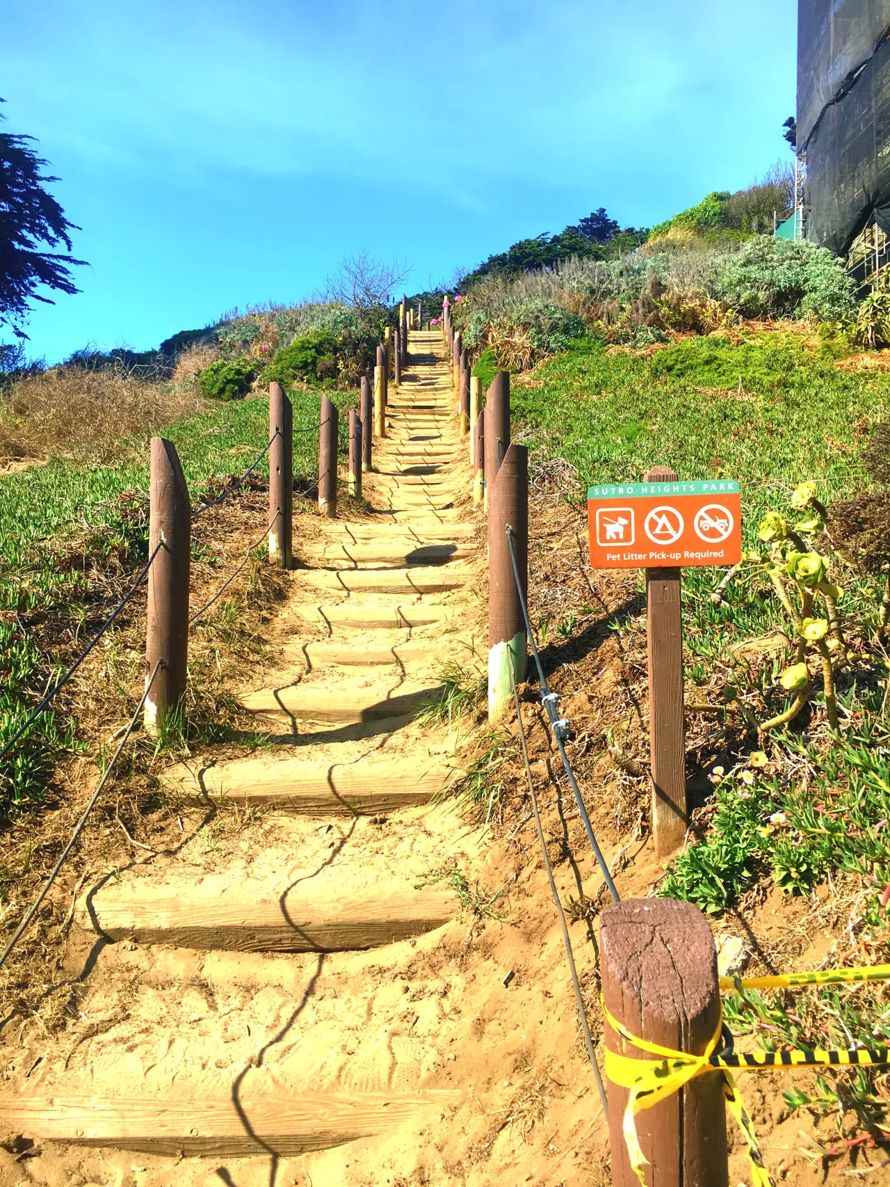
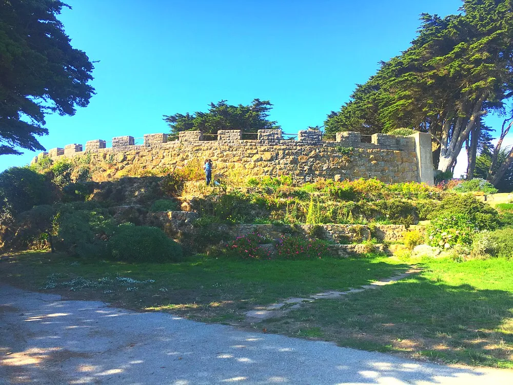
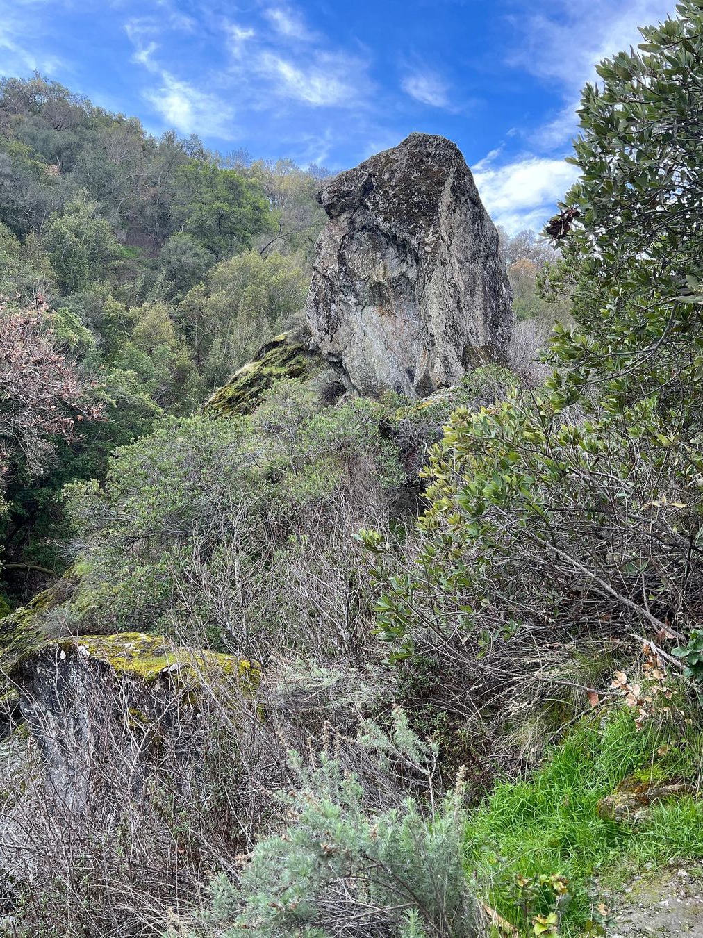
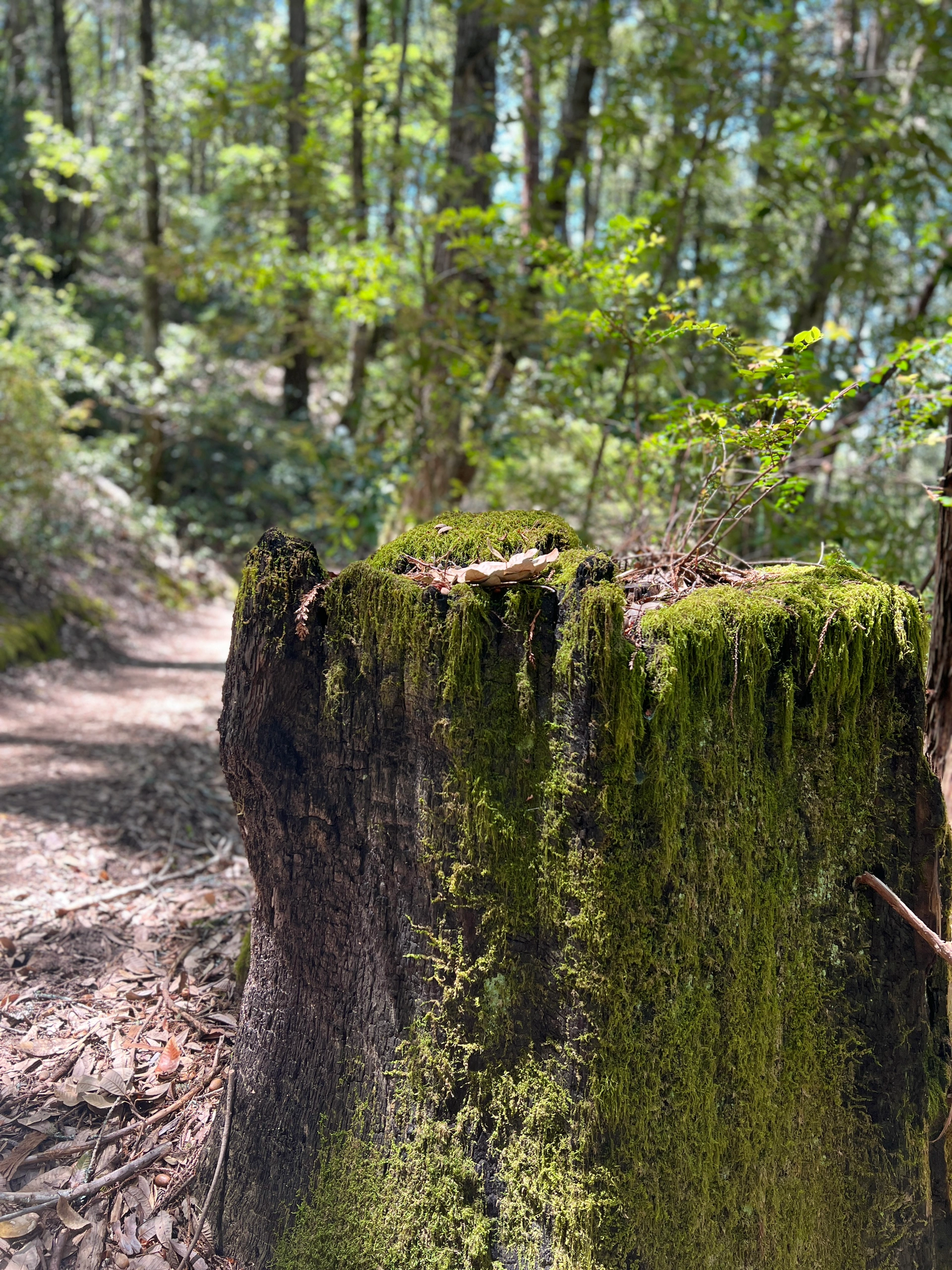
🌳 Balboa Natural Area and Sutro Heights Park:
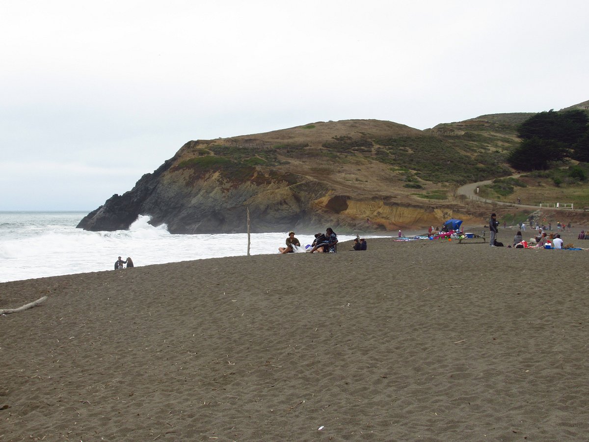
- Starting from La Playa St., enjoy views of the Outer Sunset neighborhood and Ocean Beach.
- Sutro Heights Park features abandoned structures and expansive grounds.
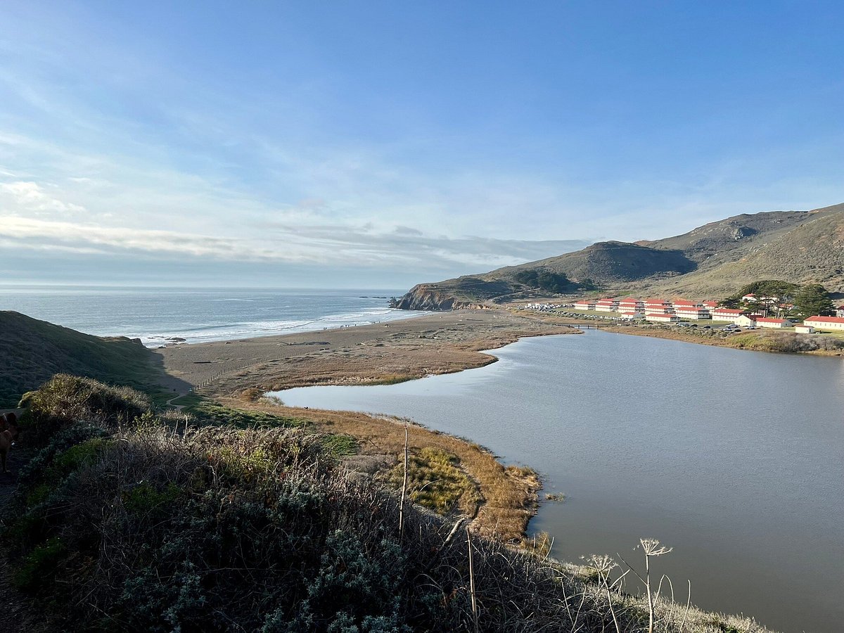
🏊♂️ Lands End Lookout and Sutro Baths:
- Lands End Lookout offers breathtaking views, visitor center, cafe, and shops.
- Nearby restaurants: Louis' and Sutro's, with panoramic ocean views.
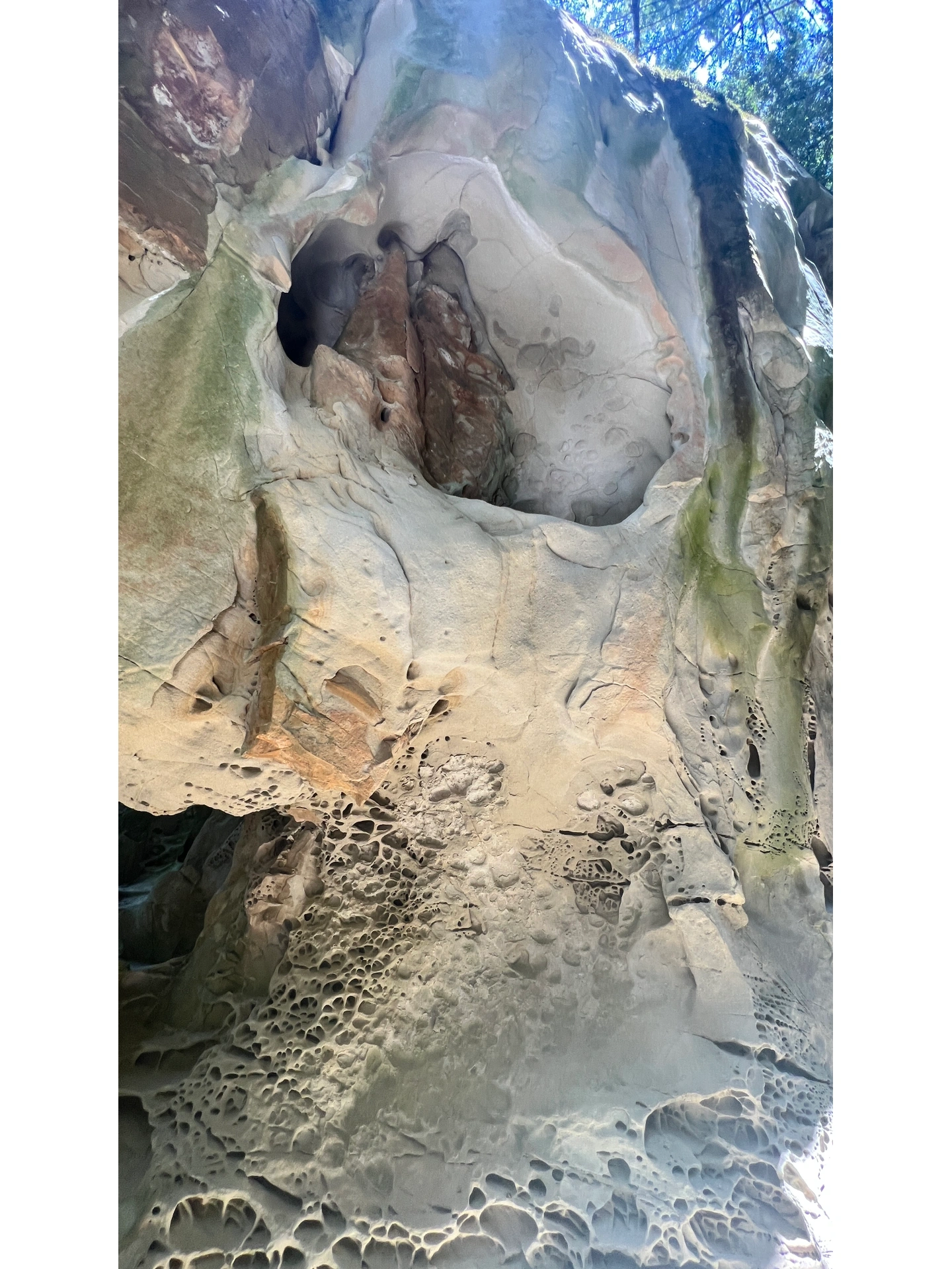
- Don't miss Sutro Baths, the grand bathhouse ruins.
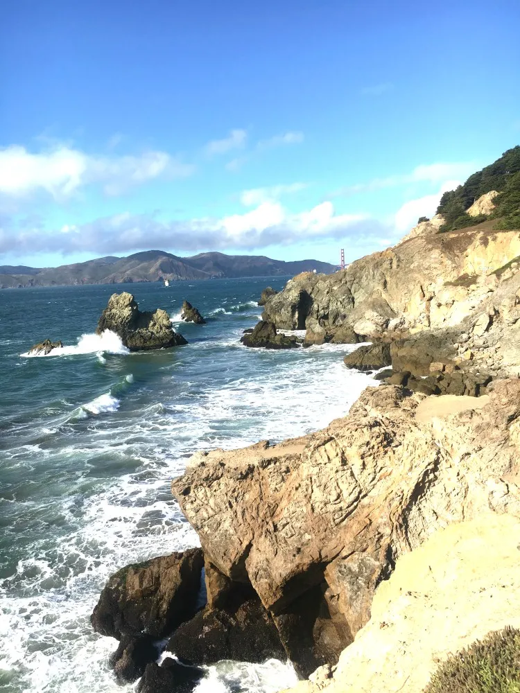
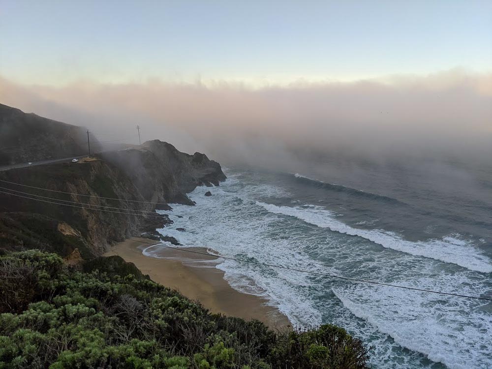
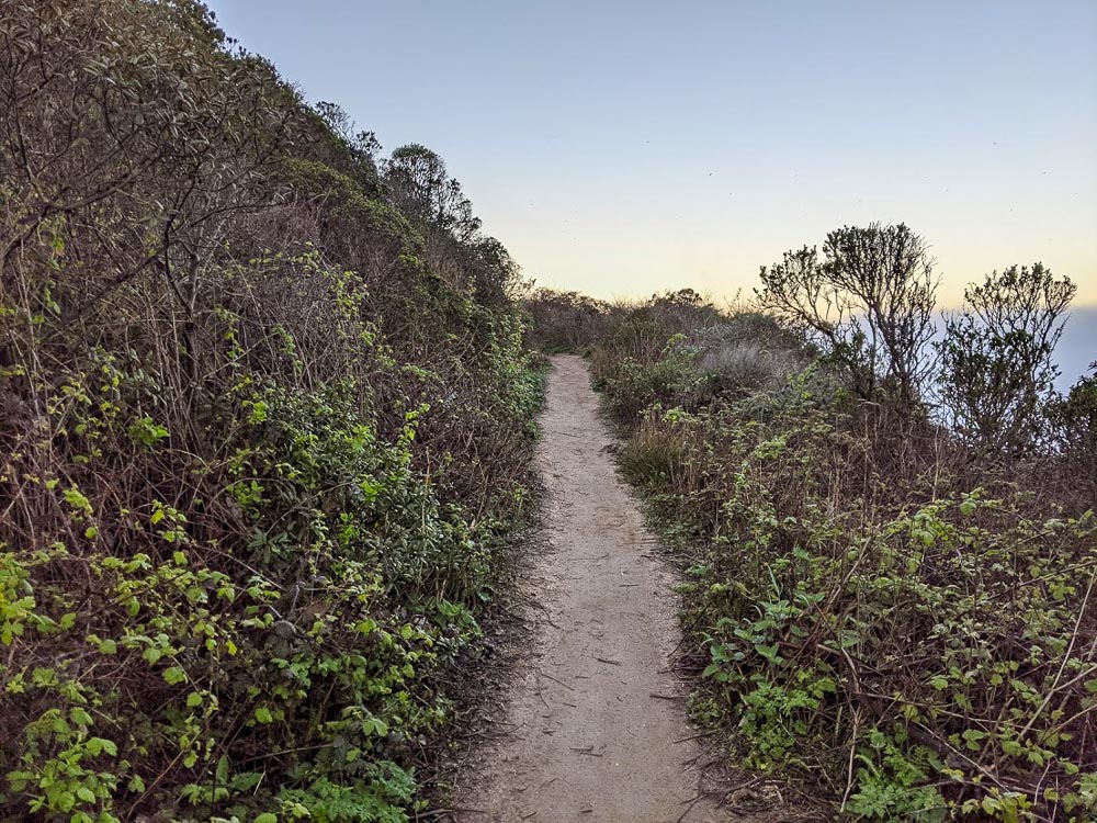
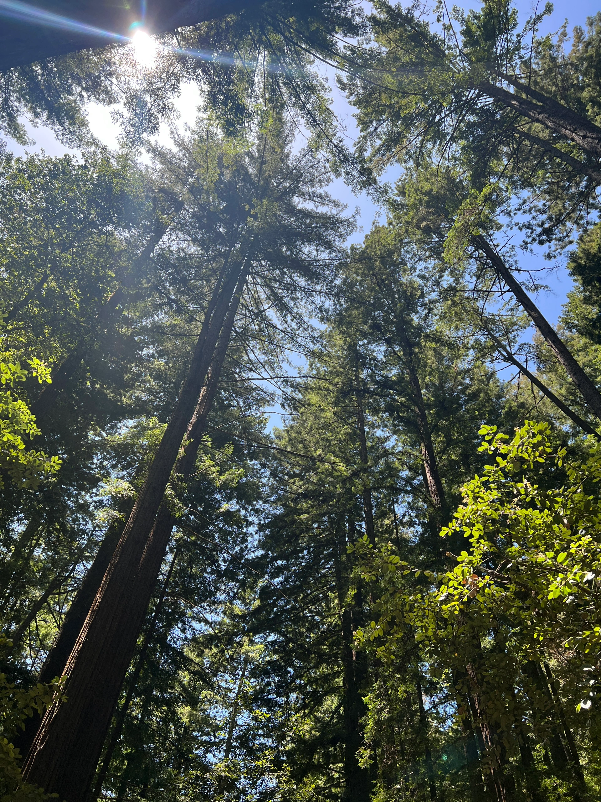
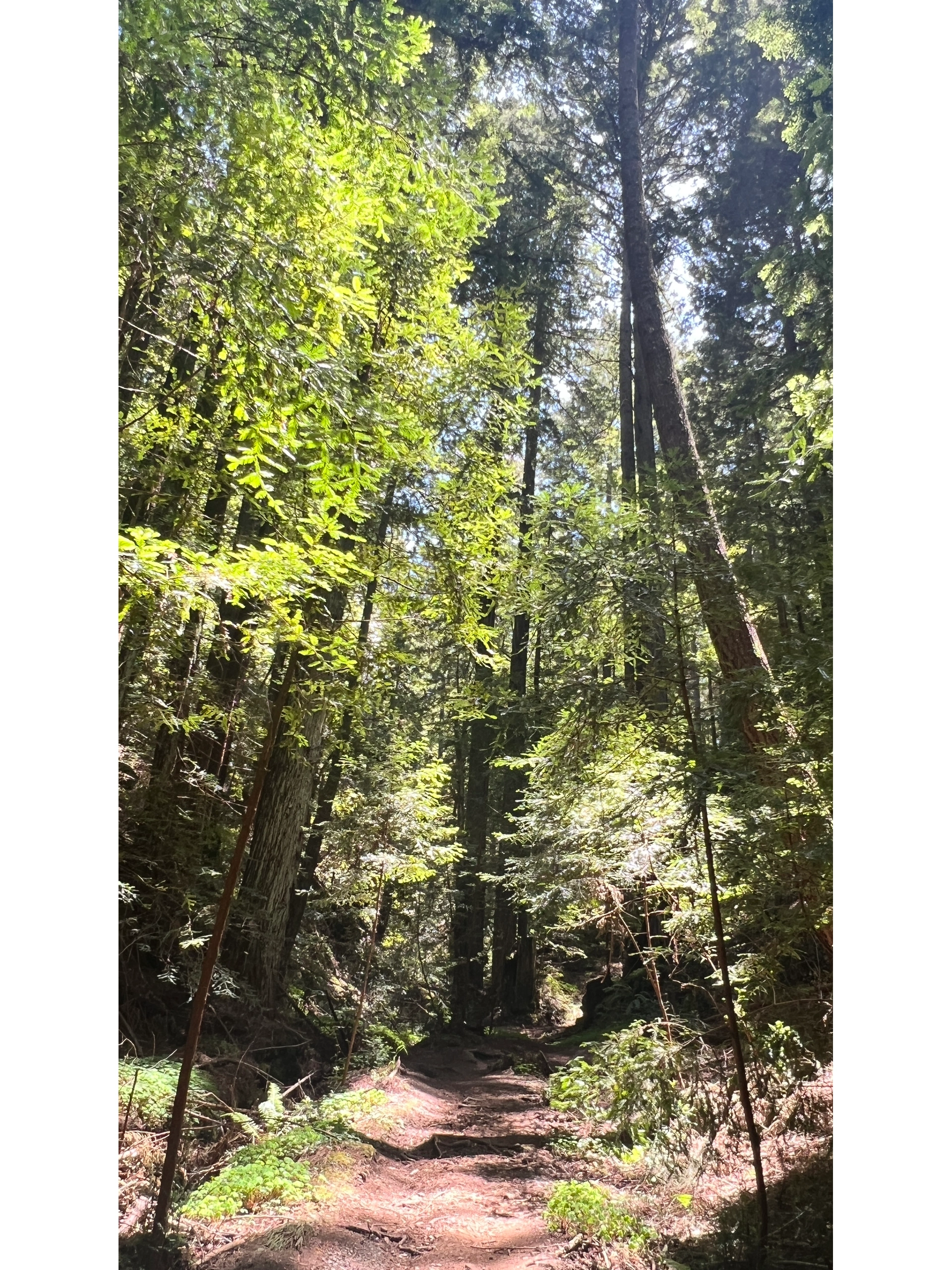
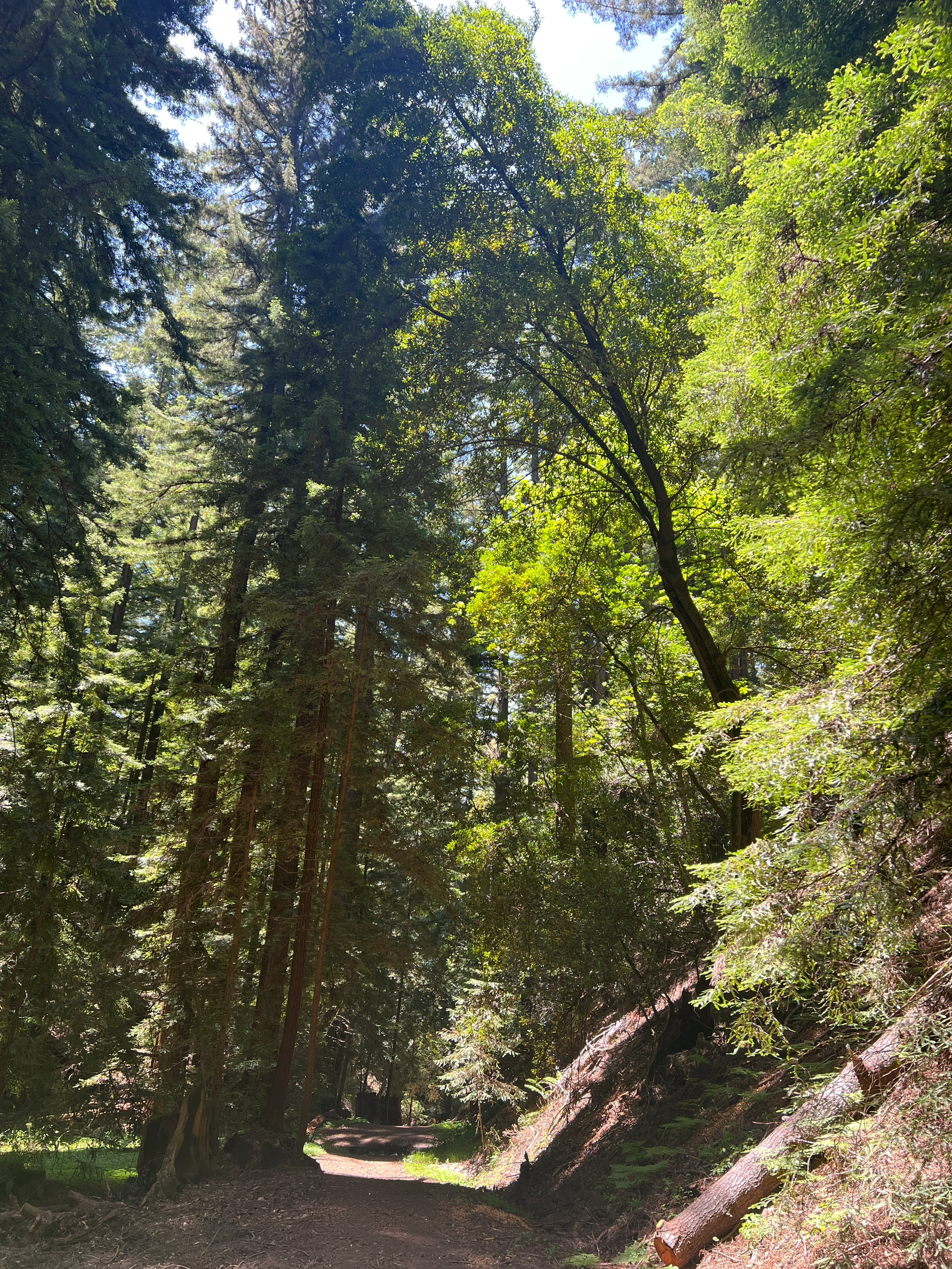
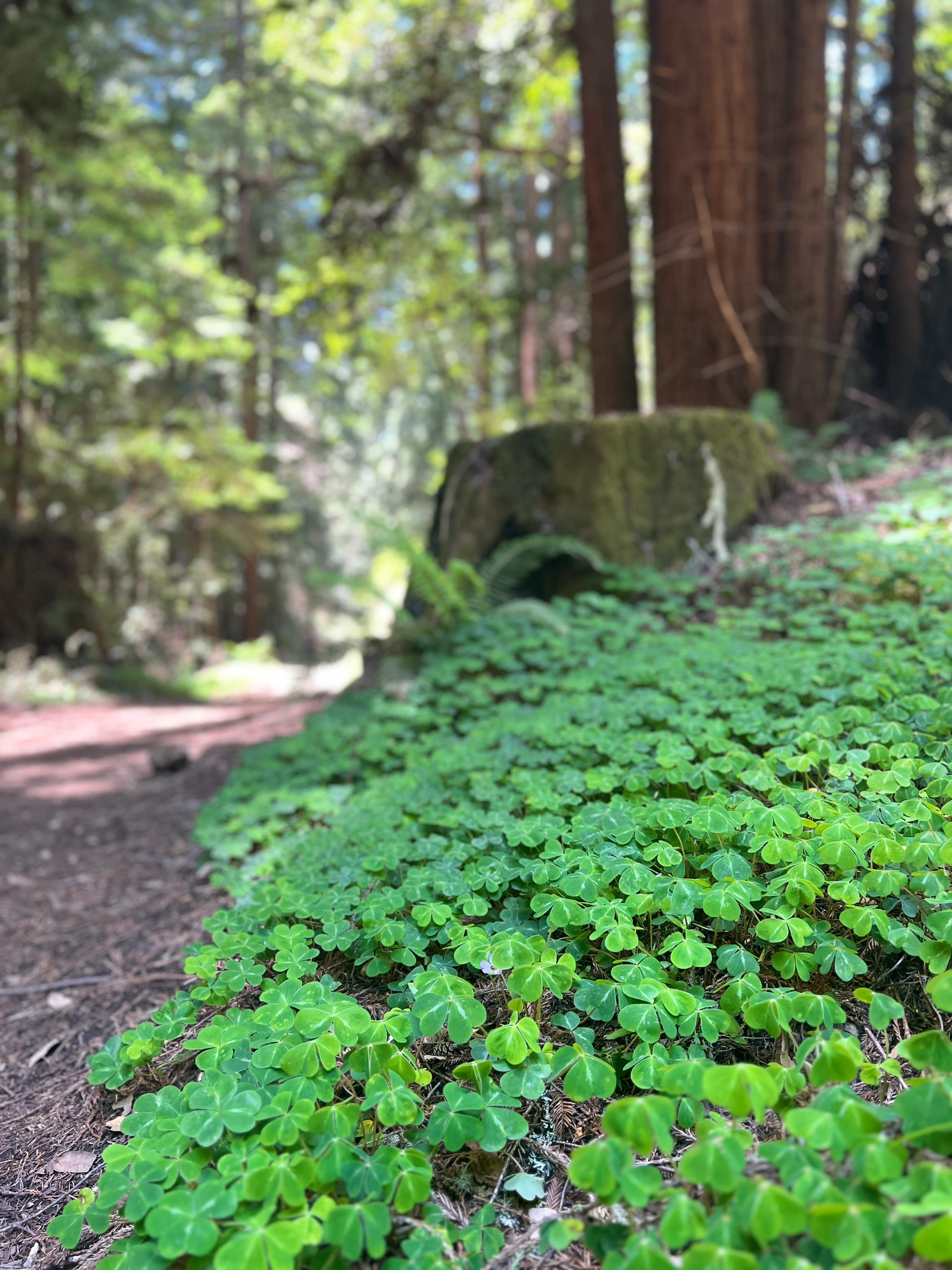
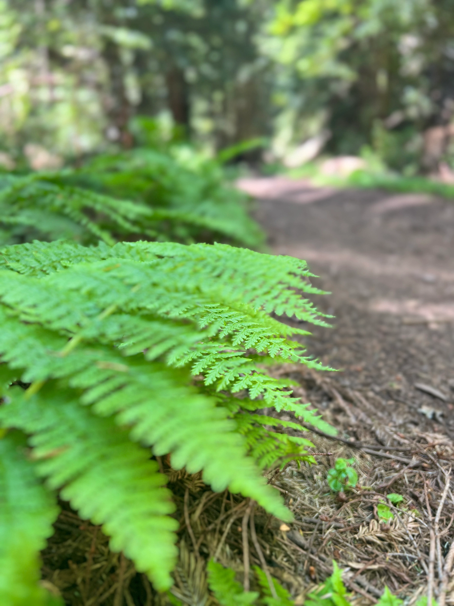
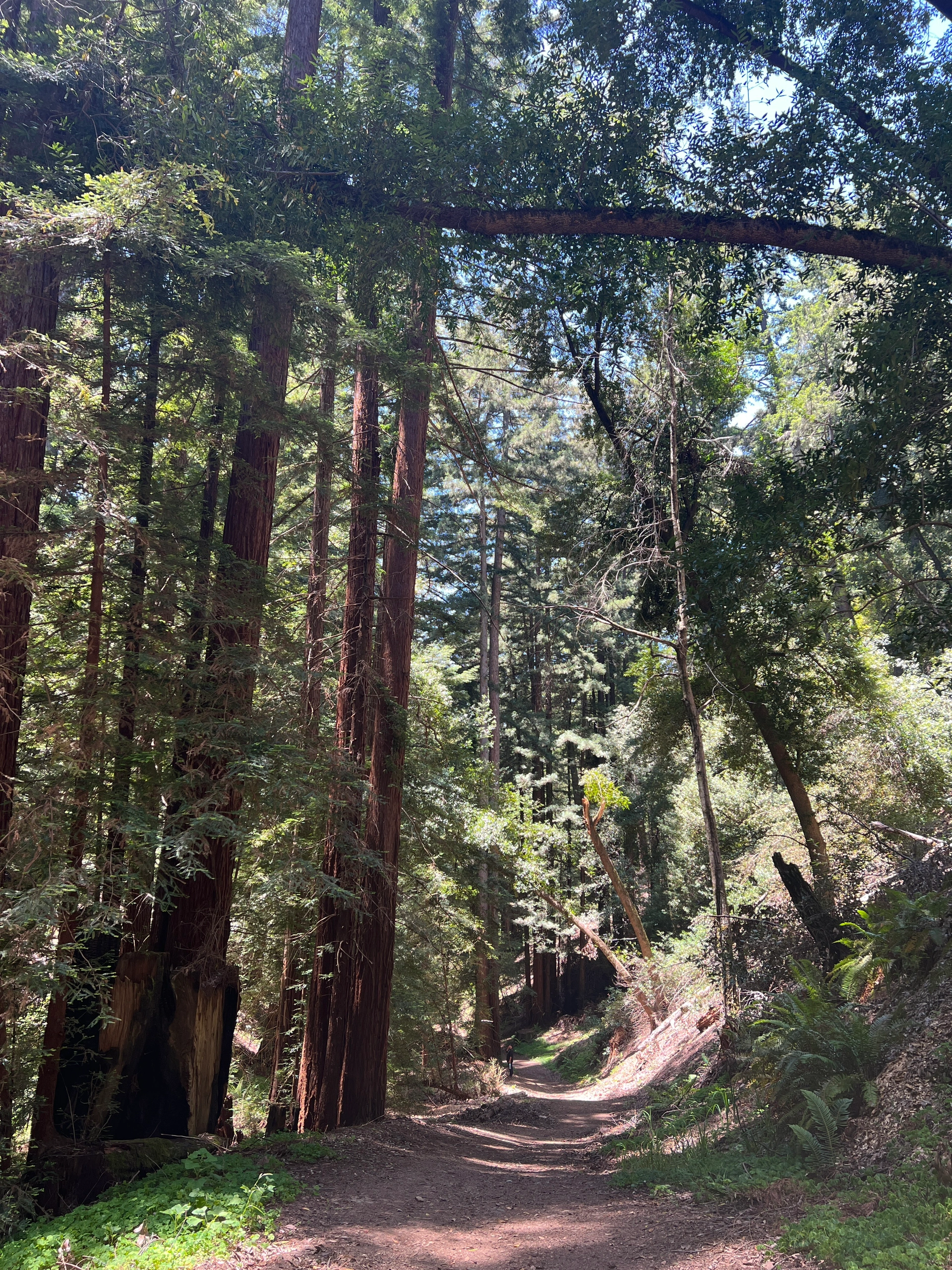
🚶♀️ The Coastal Trail:
- Follow the hiking map to stay on track.
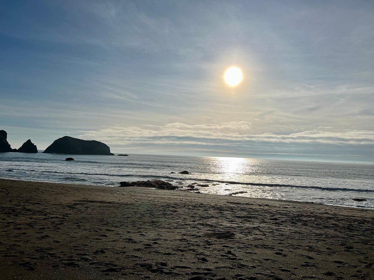
- Enjoy views of the Pacific Ocean and the Golden Gate Bridge.
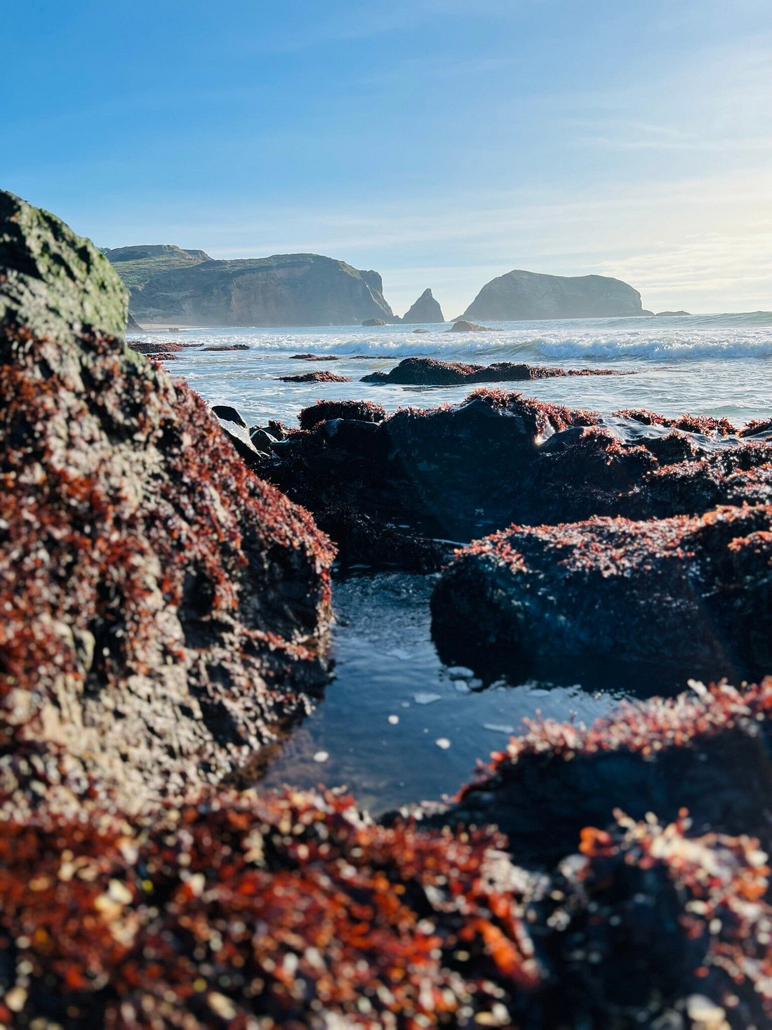
- Look out for Mile Rock Beach and the iconic Lands End Labyrinth.
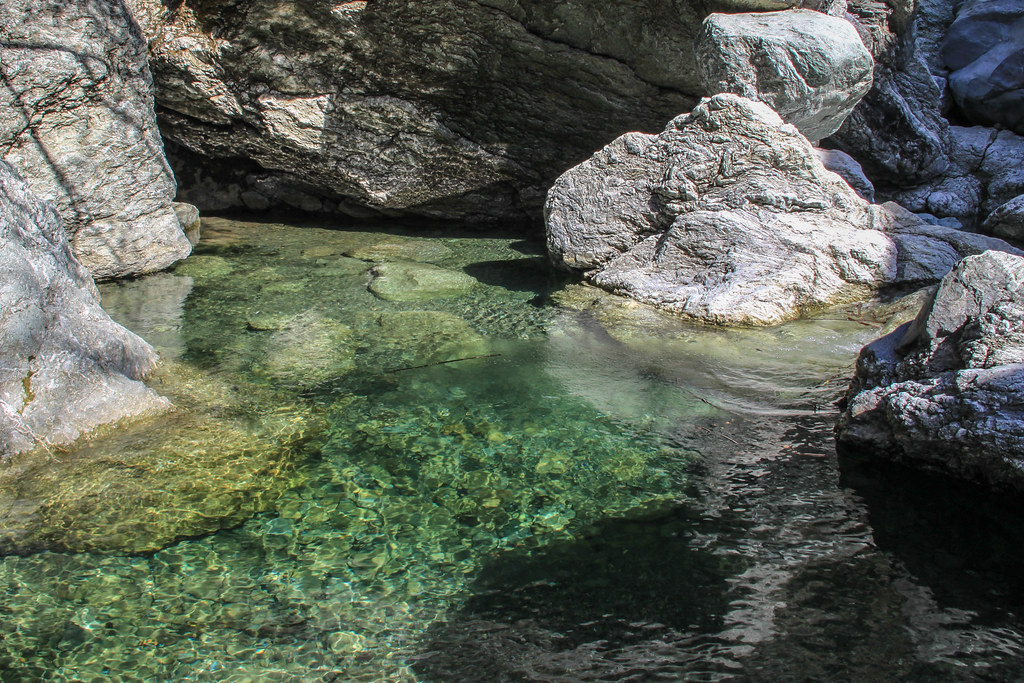
🏖️ Mile Rock Beach:
- Accessible via stairs, a small secluded beach to rest and listen to the waves.
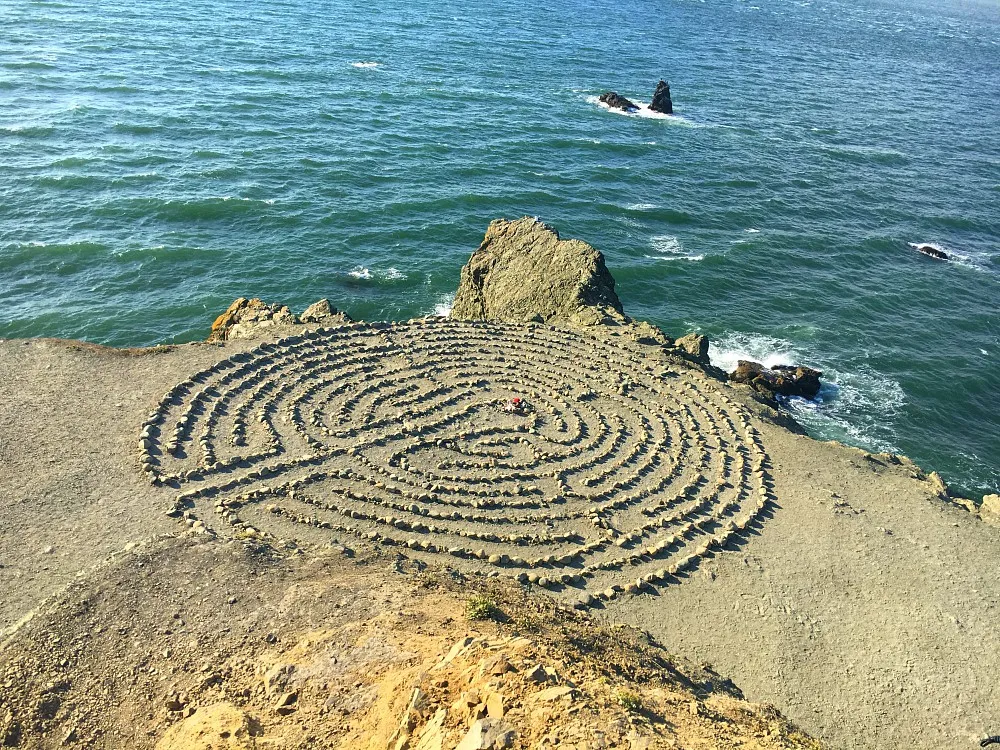
🌀 Lands End Labyrinth:
- An alien-like landmark representing "peace, love, and enlightenment."
- Be careful near the cliff.
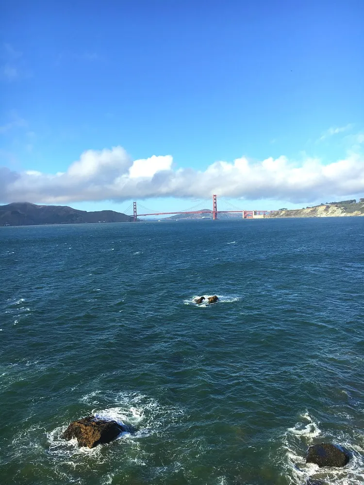
🌁 Eagle's Point:
- The closest viewpoint to the Golden Gate Bridge from about two miles away.
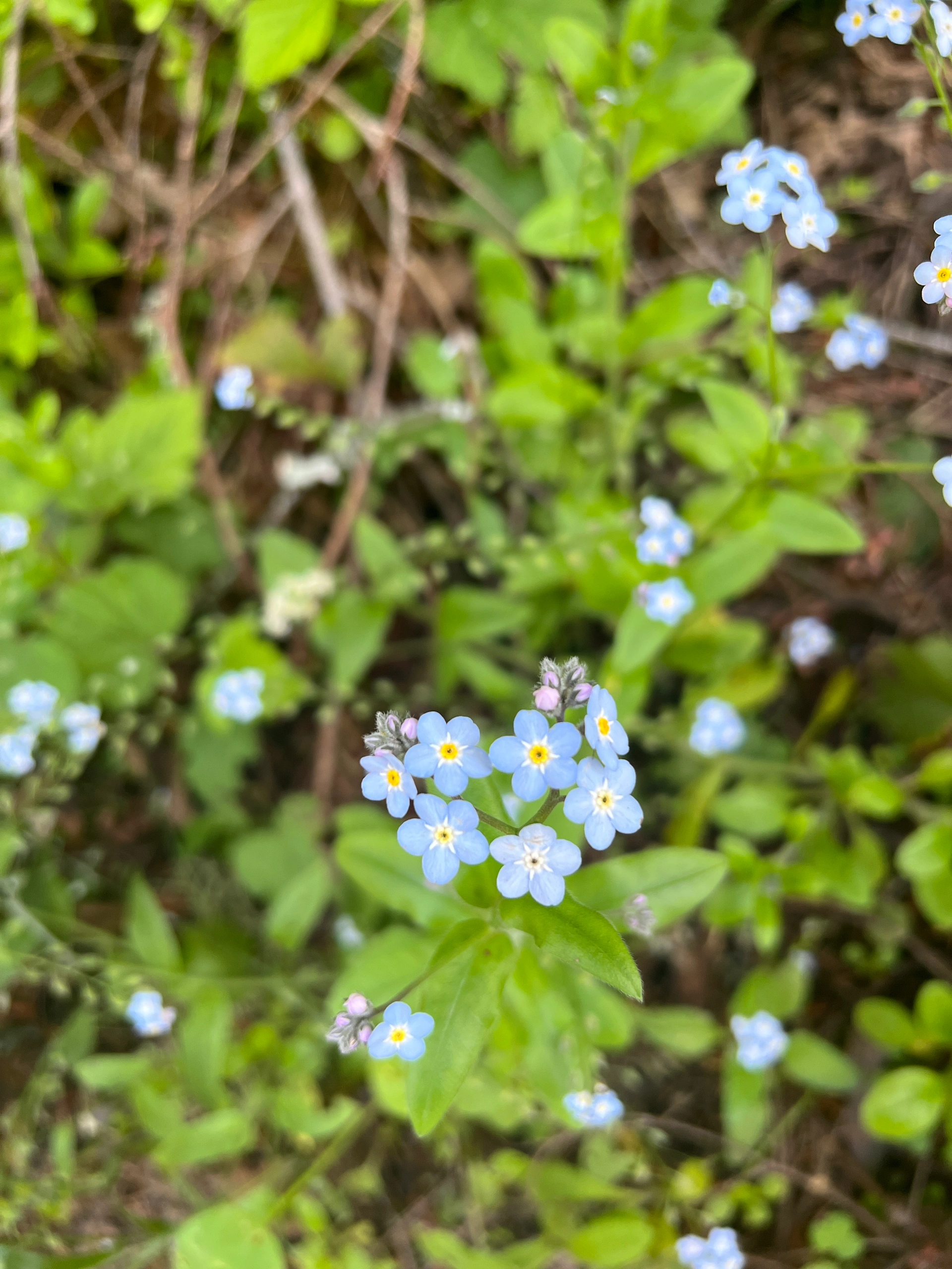
- Springtime offers colorful views of spring flowers.
Head back home after Eagle's Point, following the map. Enjoy the pristine California coast along the way! #SanFrancisco #LandsEndTrail #Hiking #OceanBeach #GoldenGateBridge #SutroBaths #LandsEndLabyrinth #Nature #OutdoorAdventure #ExploreCalifornia