THE 5 BEST THINGS TO DO IN NAPA VALLEY
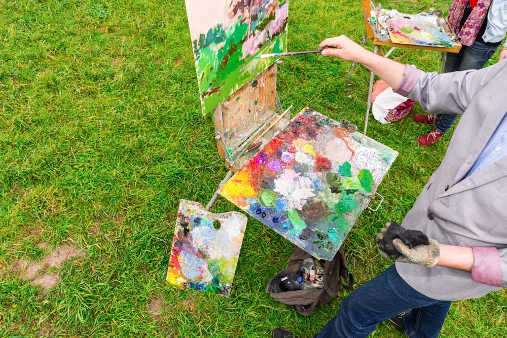
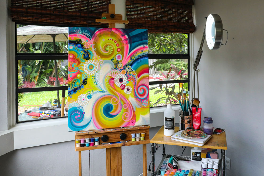
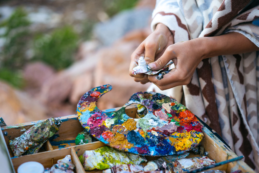
🎨 TAKE AN ART CLASS WHILE SIPPING WINE 🍷
Capture the essence of Napa Valley's stunning landscape while exploring your artistic side. With a professional artist as your guide, take an art class where you can create a unique painting while sipping wine. Perfect for solo travelers or groups of friends, this activity guarantees a fun and memorable experience. 🎨🍷
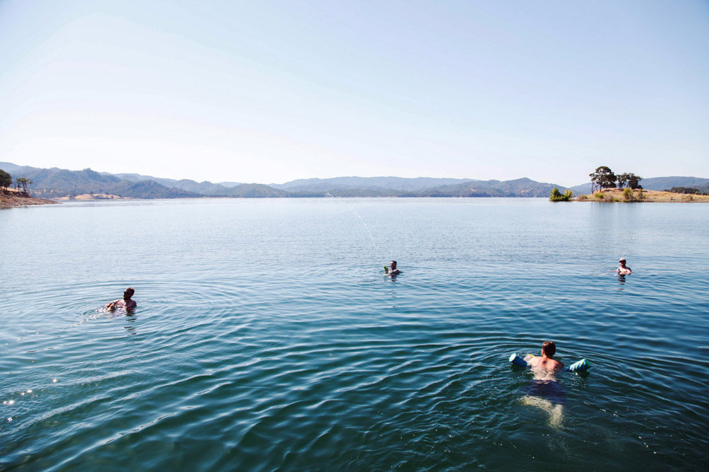
💦 SWIM IN THE BEAUTIFUL LAKE BERRYESSA 🏊♀️
Cool off at Lake Berryessa, one of California's largest freshwater lakes. Enjoy a variety of water sports such as boating, wakeboarding, kayaking, and more. With water temperatures reaching up to 80°F in the summer months, the lake is the perfect place to relax after a vineyard stroll or a sun-drenched hike. Rent boats and equipment from Pleasure Cove Marina and spend a family-friendly day on the calm waters. For a unique experience, consider renting a houseboat or camping equipment and spending the night under the stars. 🌊🏞️
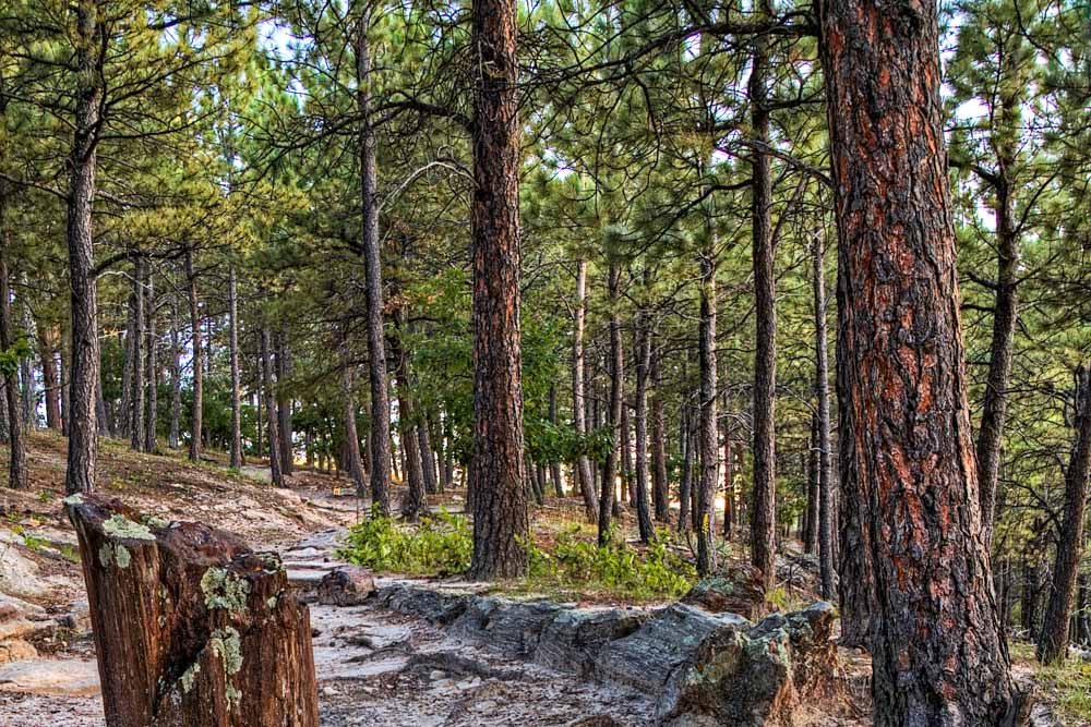
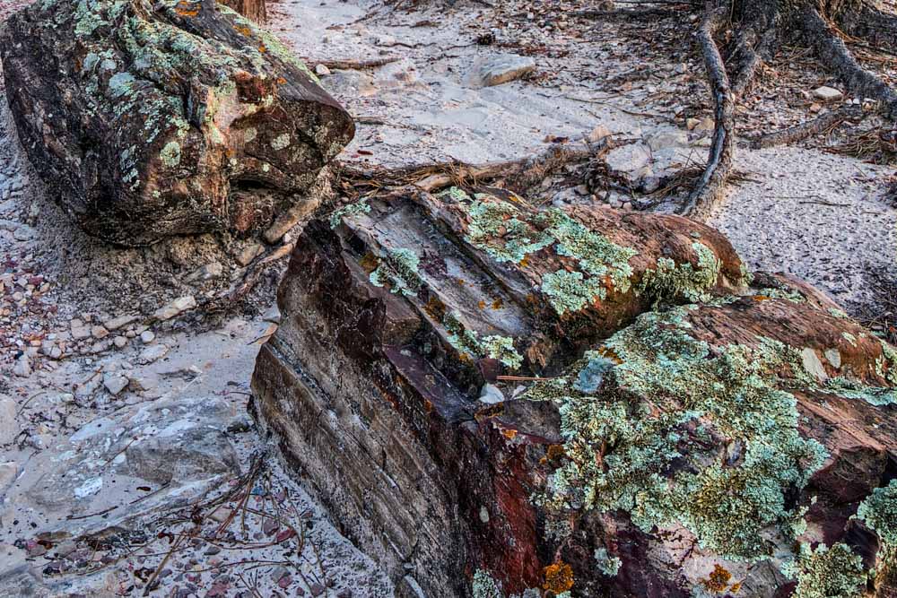
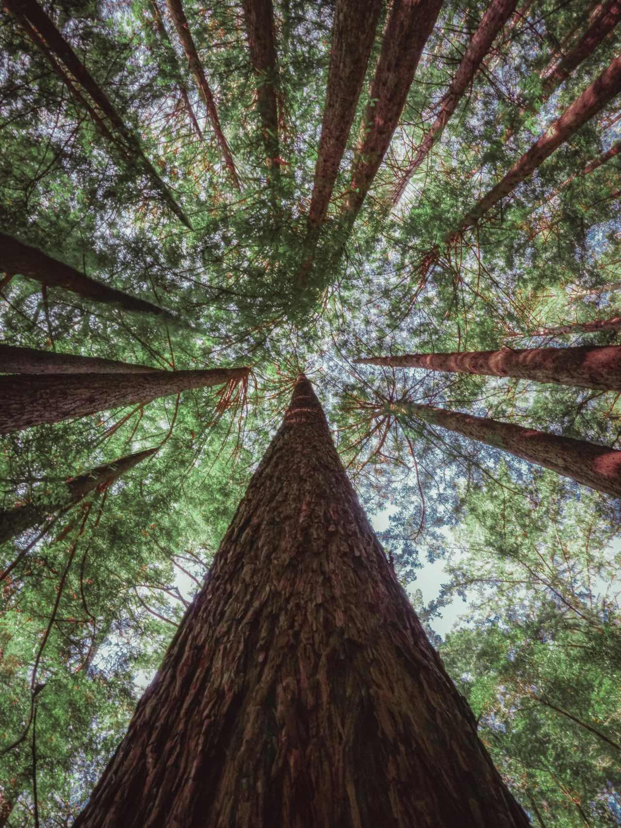
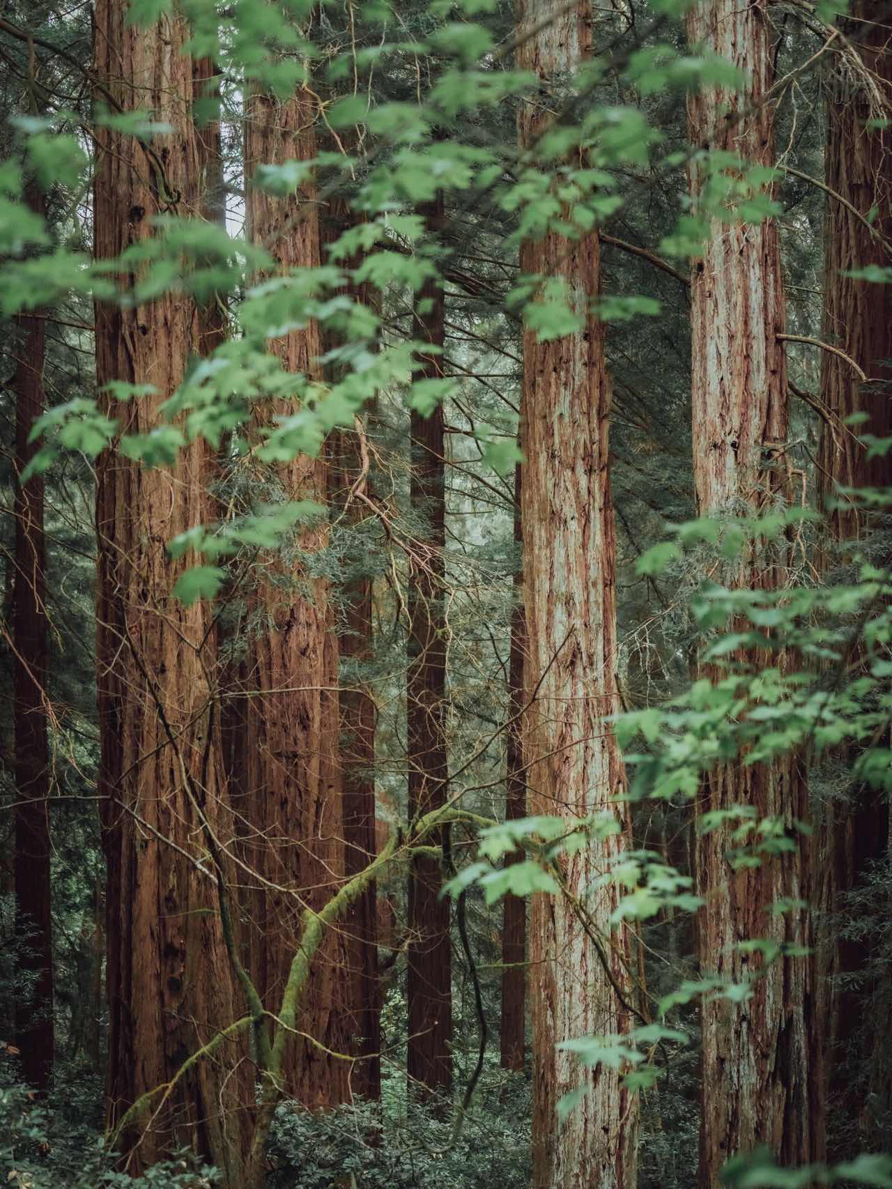
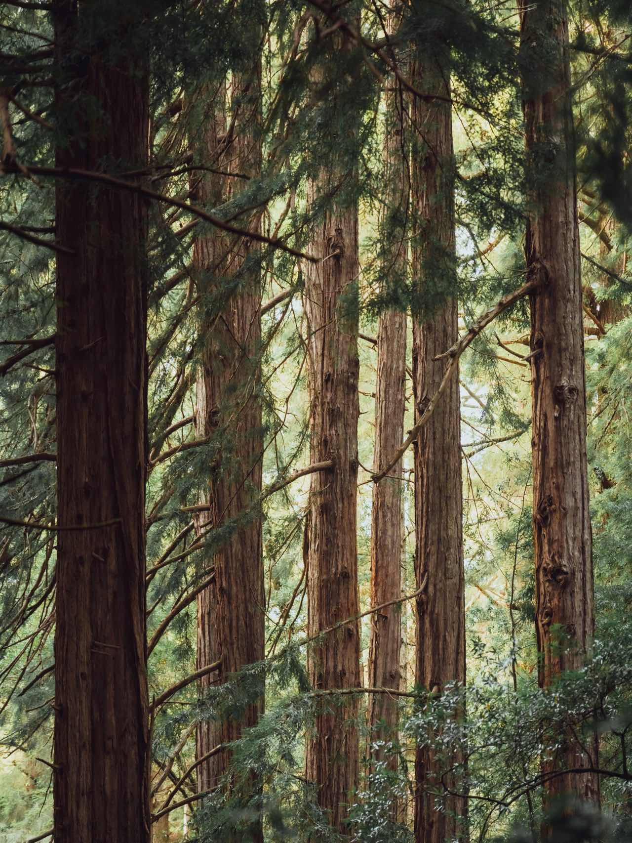
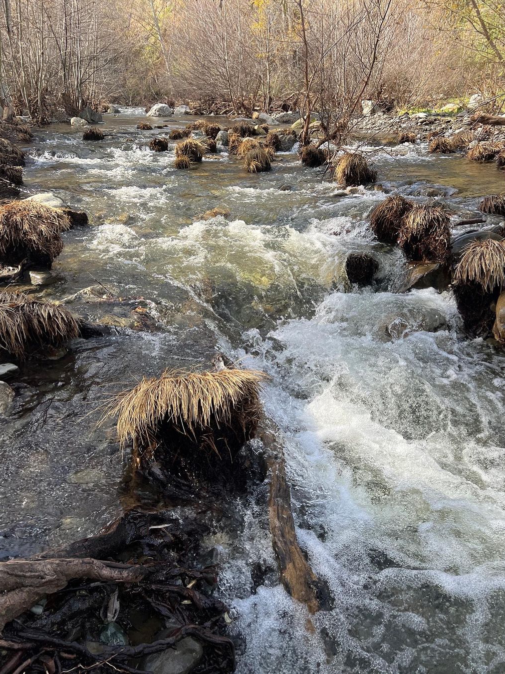
🌲 PAY A VISIT TO THE PETRIFIED FOREST 🌳
Step back in time and explore Calistoga's Petrified Forest, home to an ancient preserved forest that dates back 3.4 million years. These fossilized redwood trees were covered in ash from the eruption of Mt. St. Helena, turning them to stone. Take a walk along the Meadow Trail or Main Trail to discover the beauty of this unique woodland. You can also catch a view of Mt. St. Helena and visit California's Old Faithful, a popular natural geyser. 🌲🌋
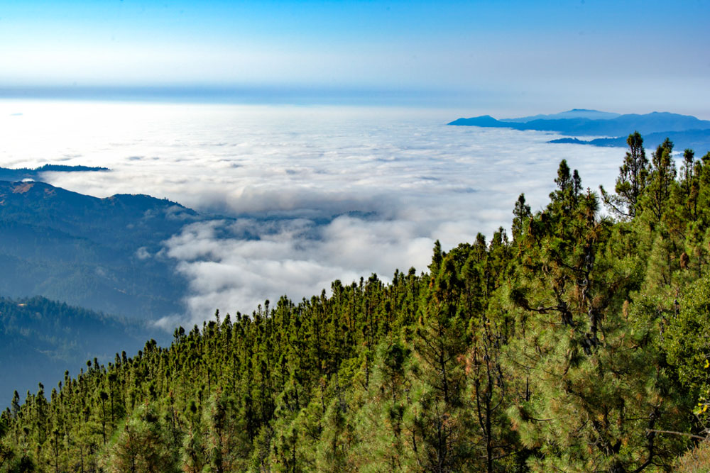
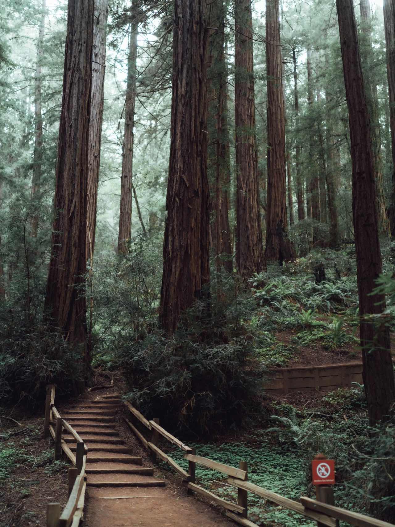
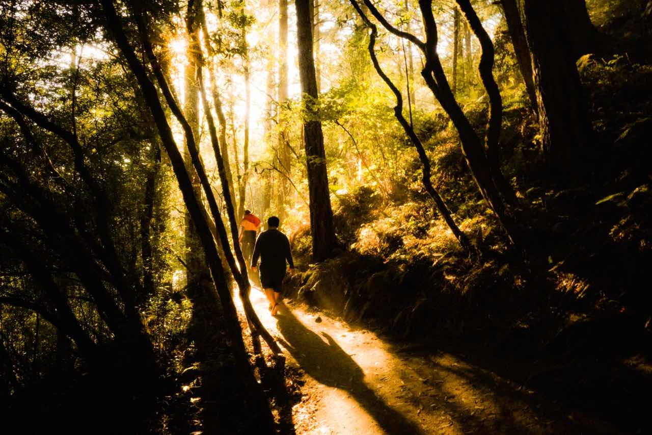
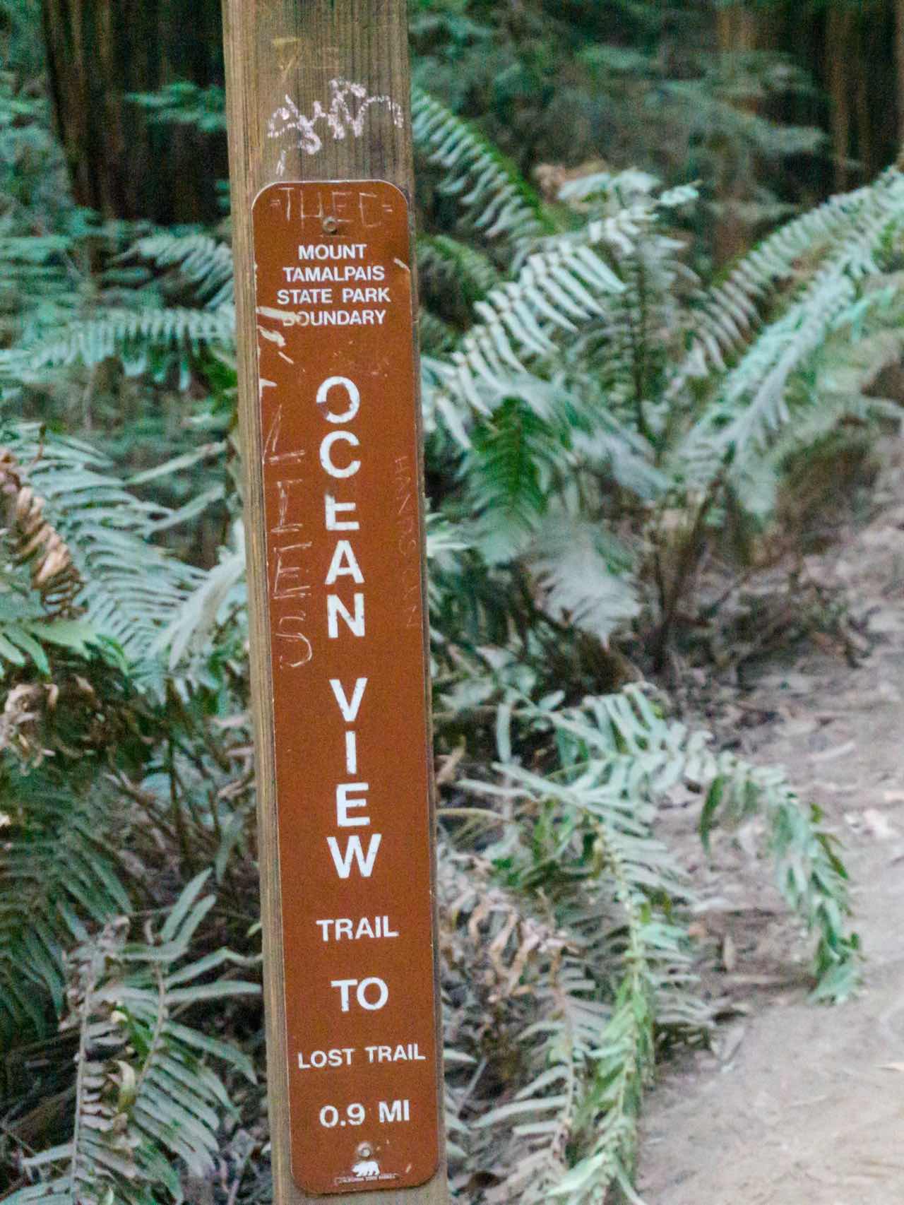
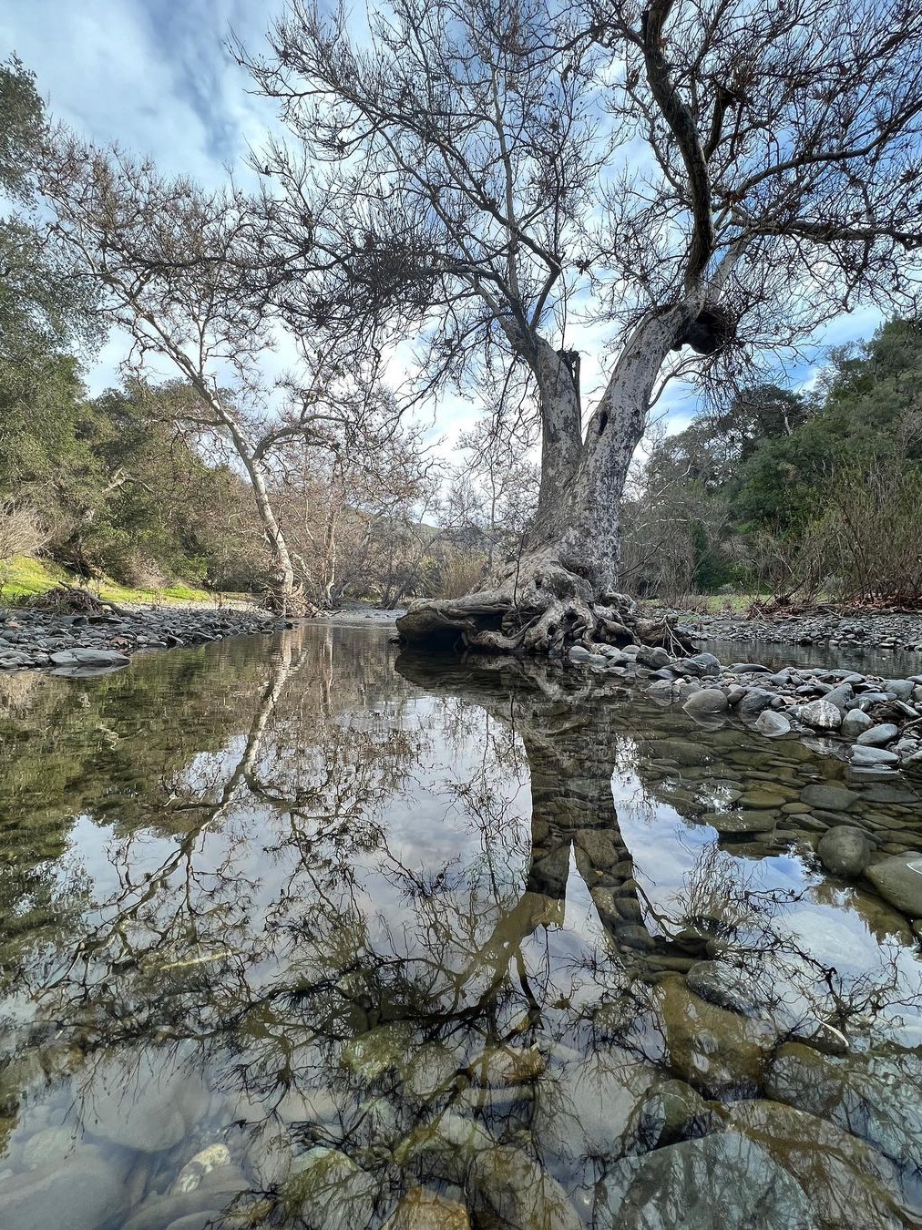
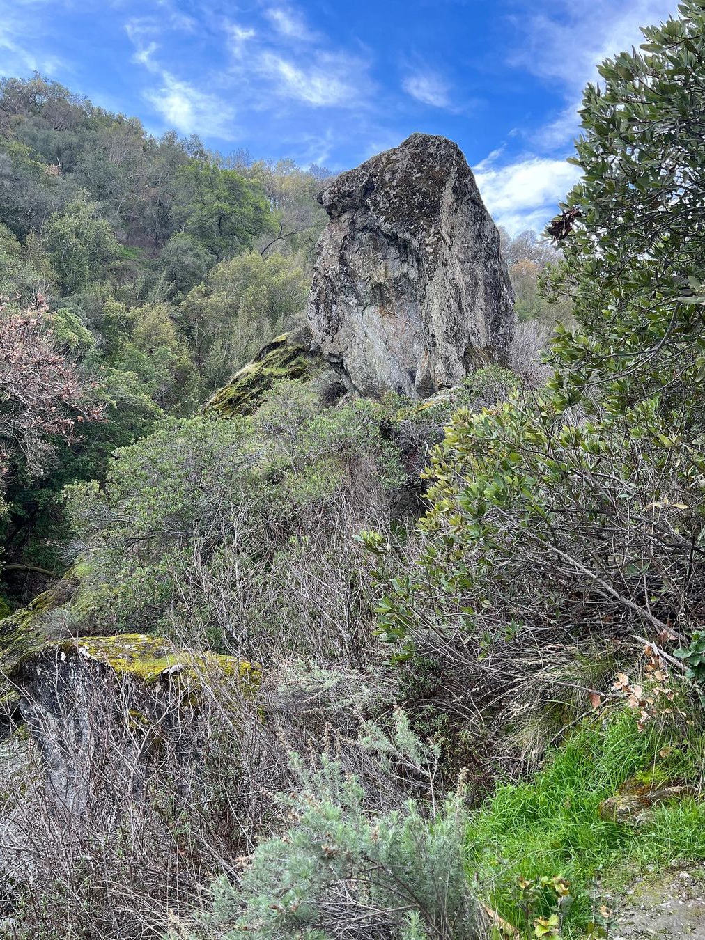
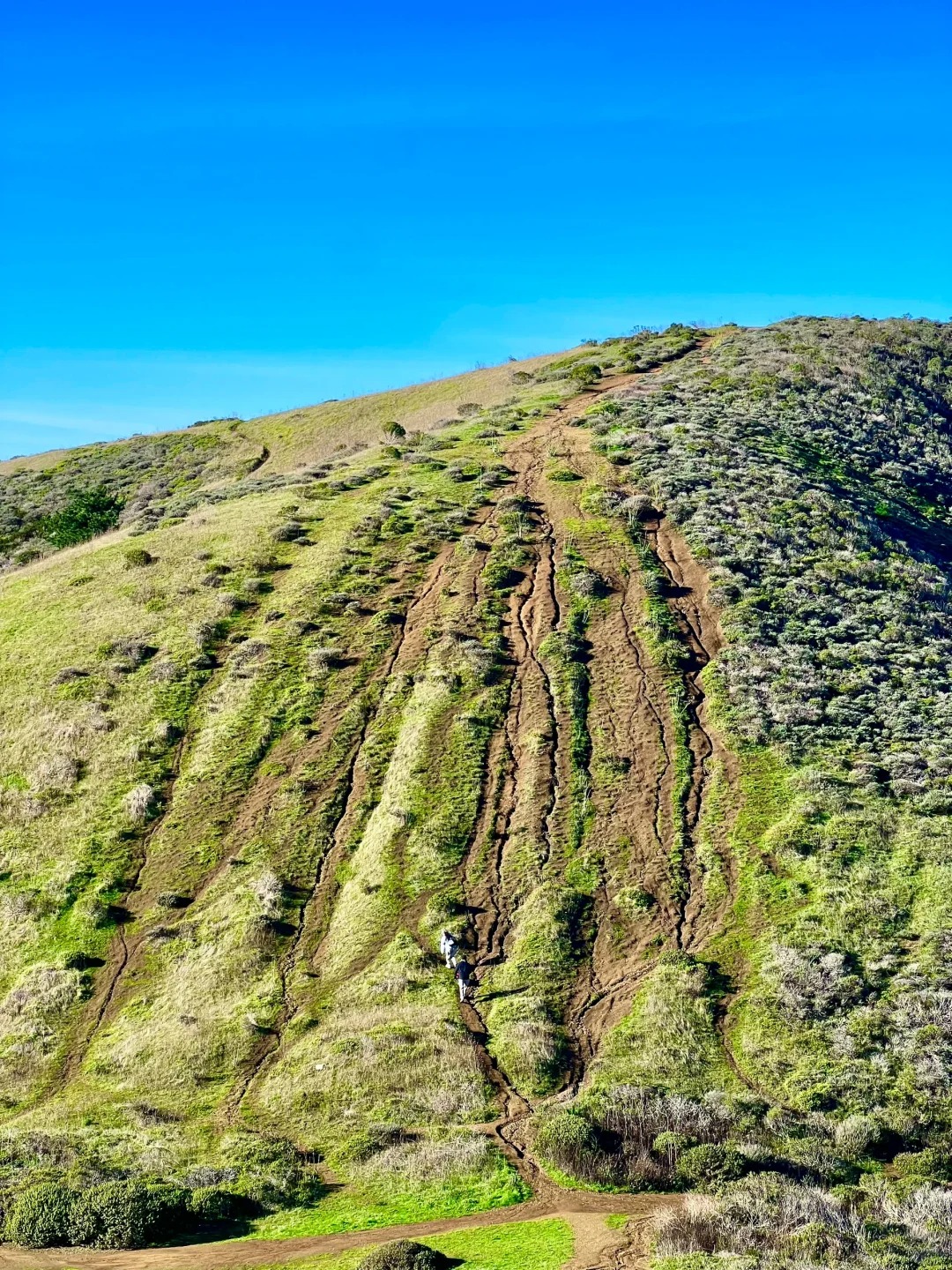
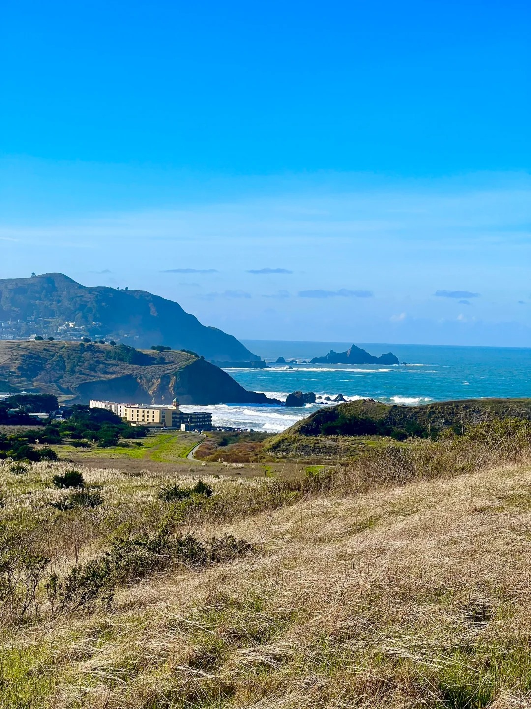
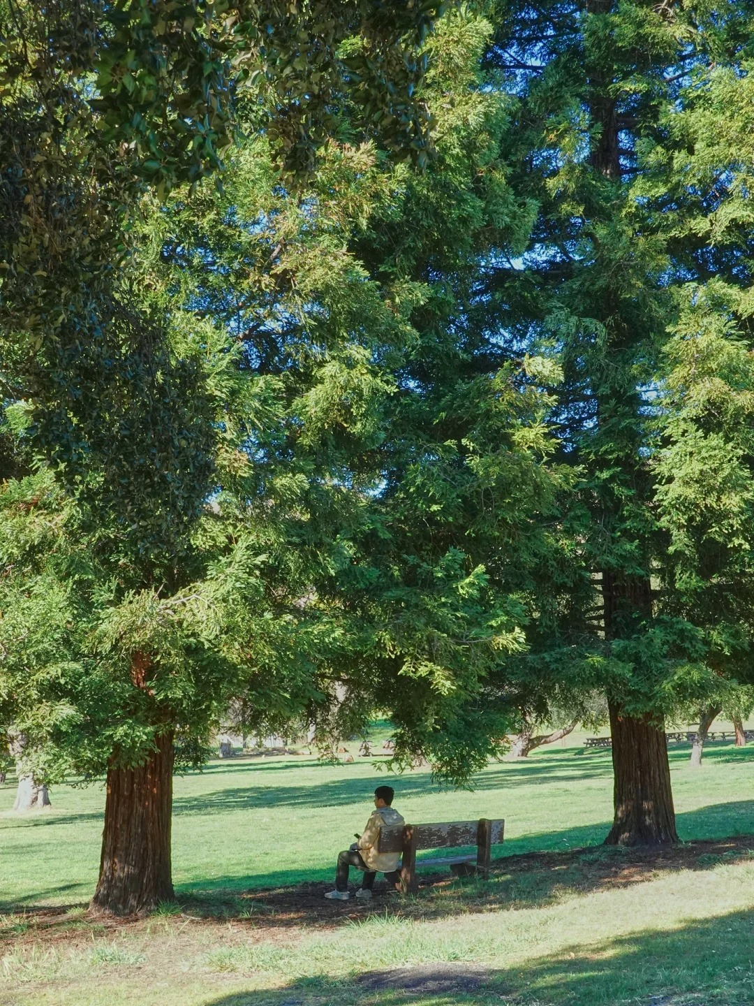
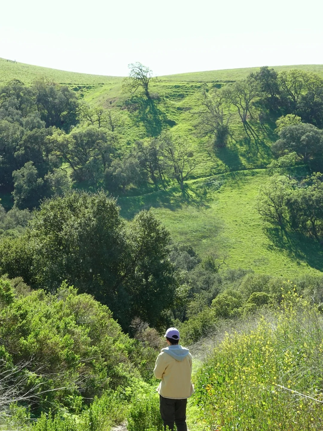
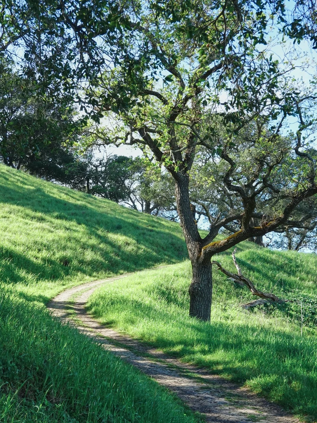
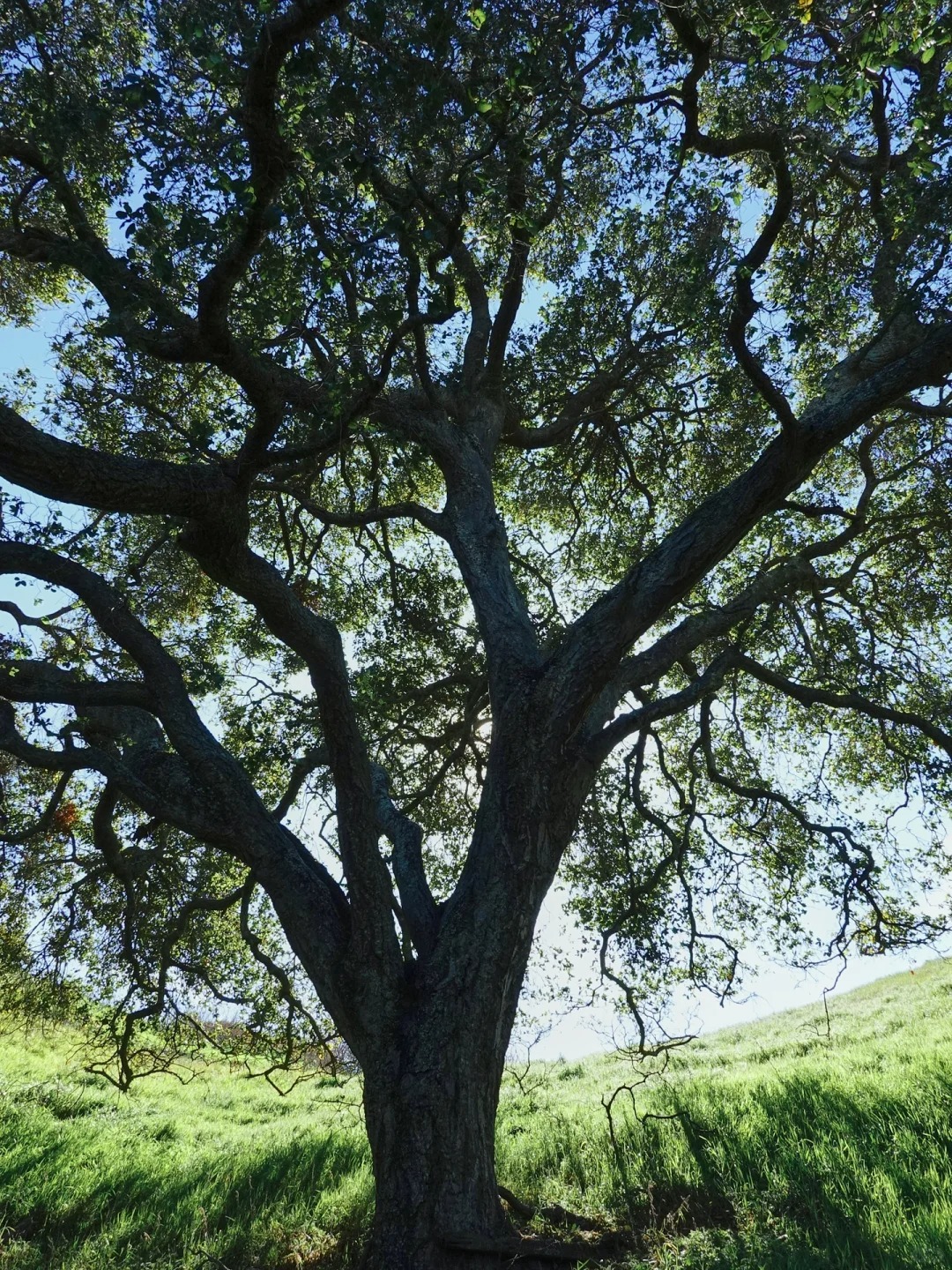
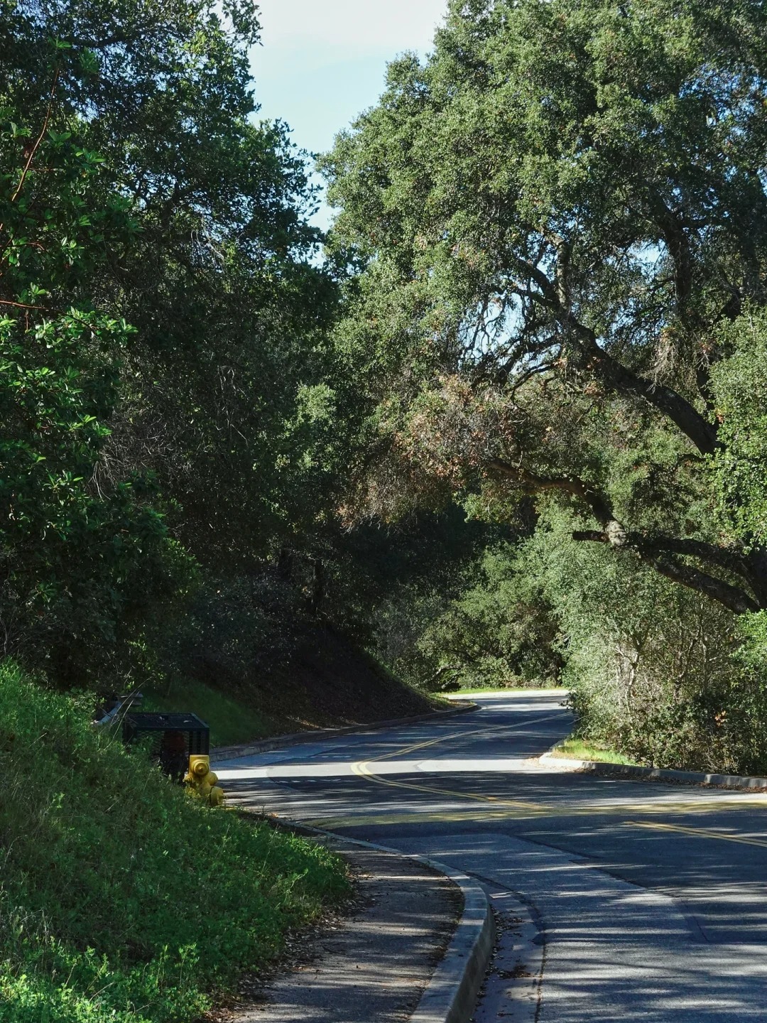
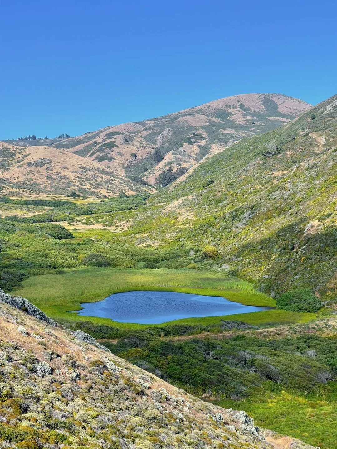
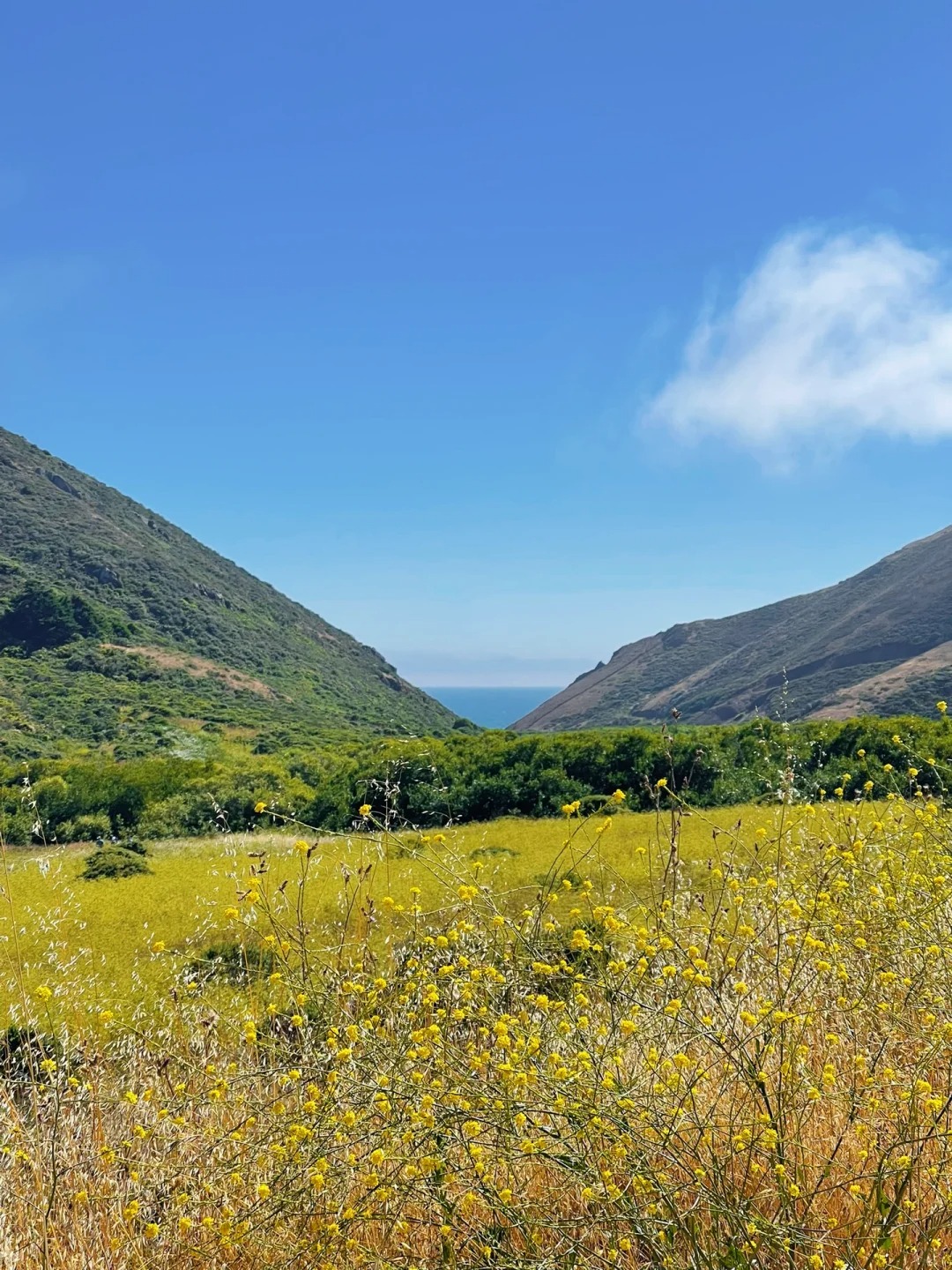
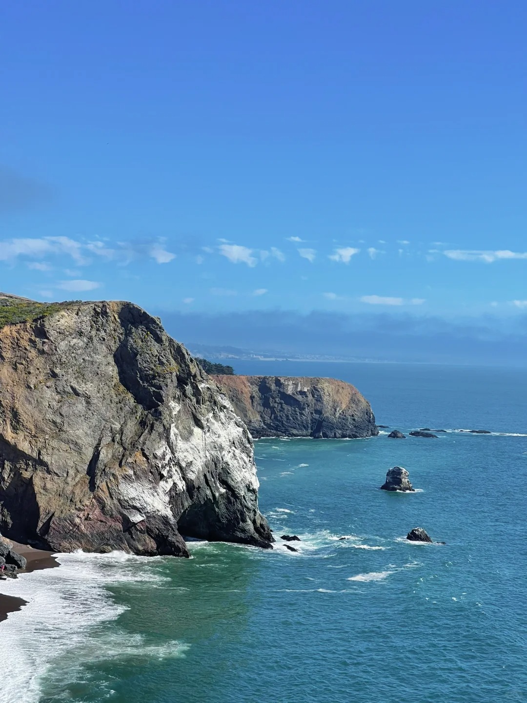
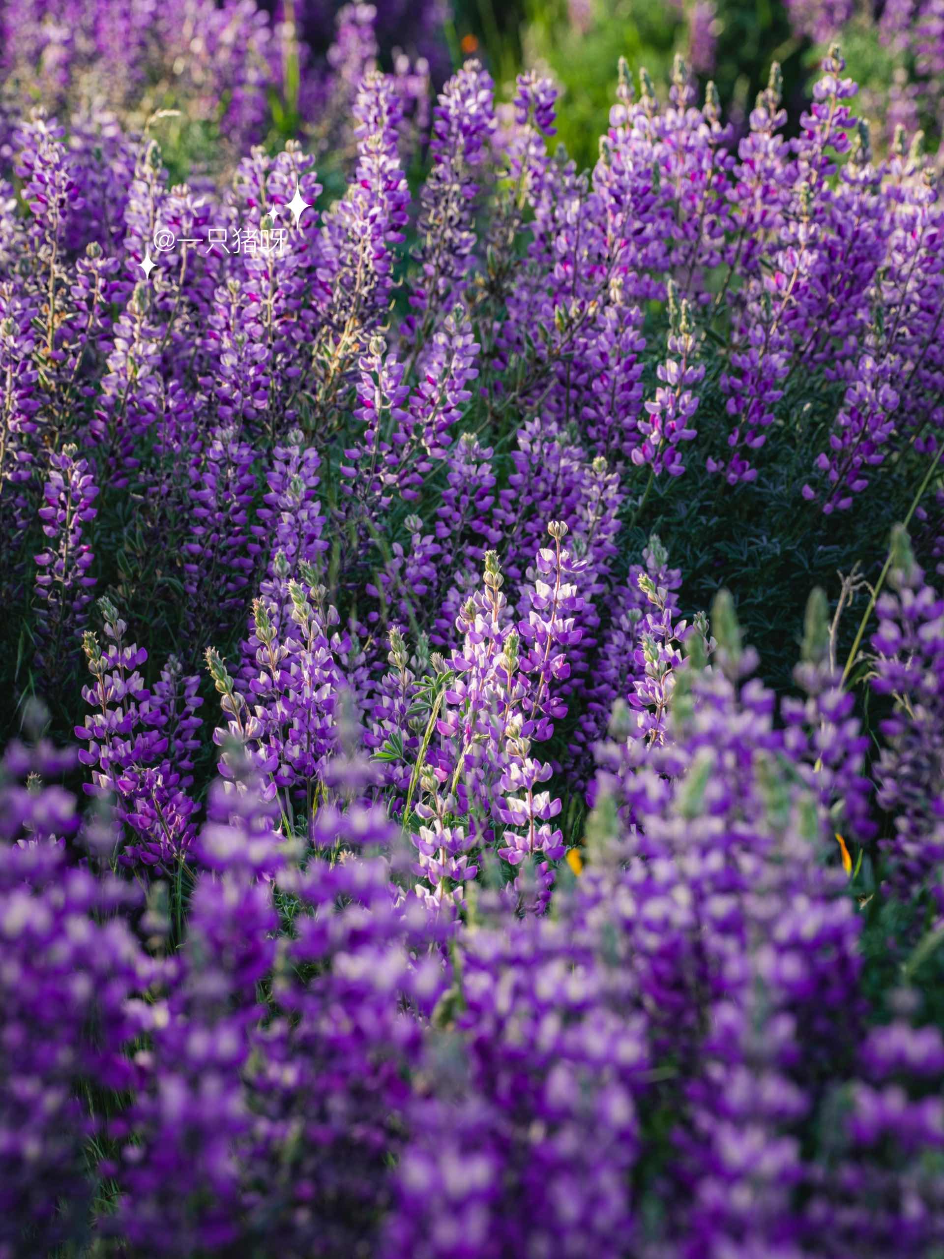
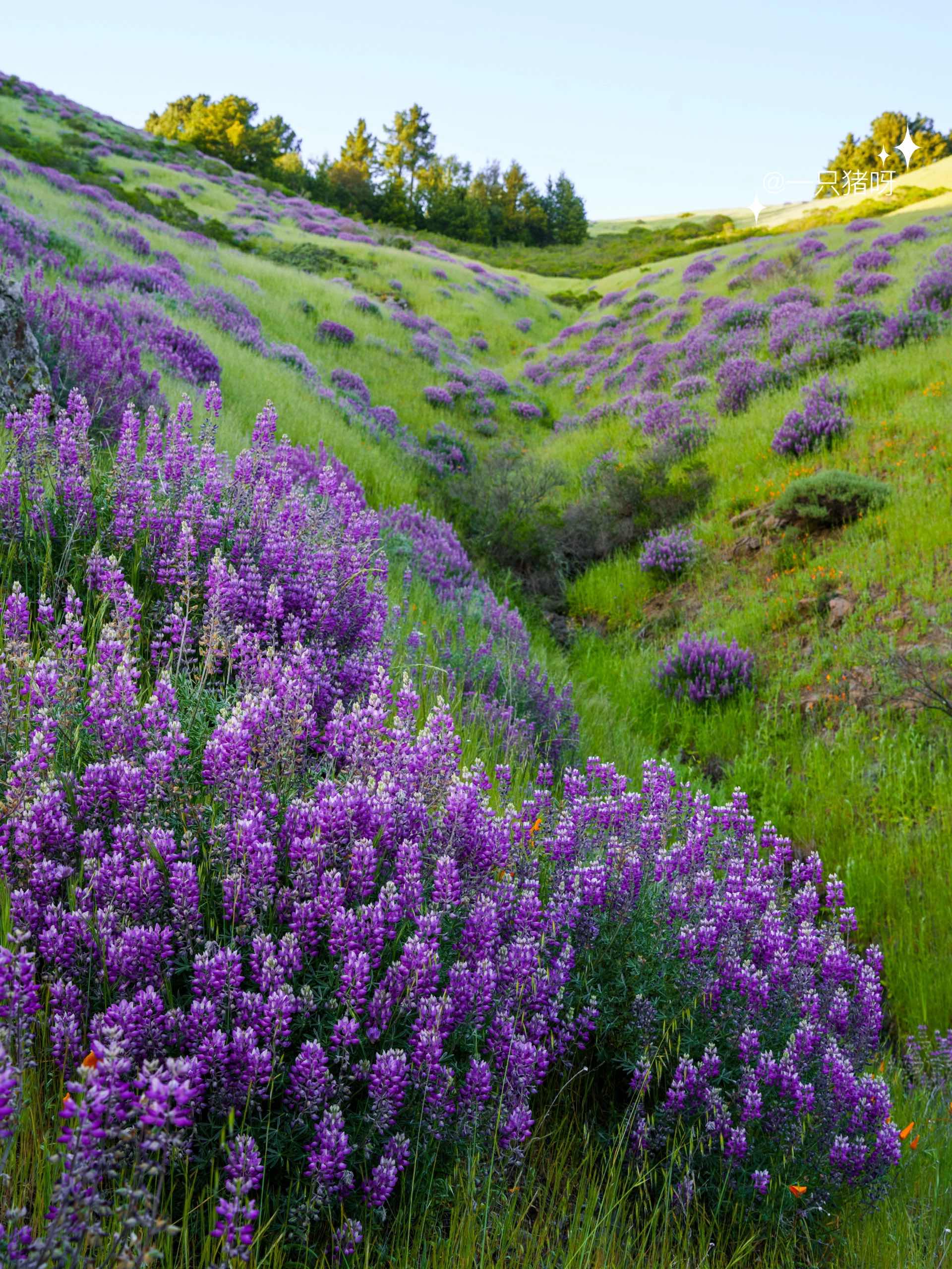
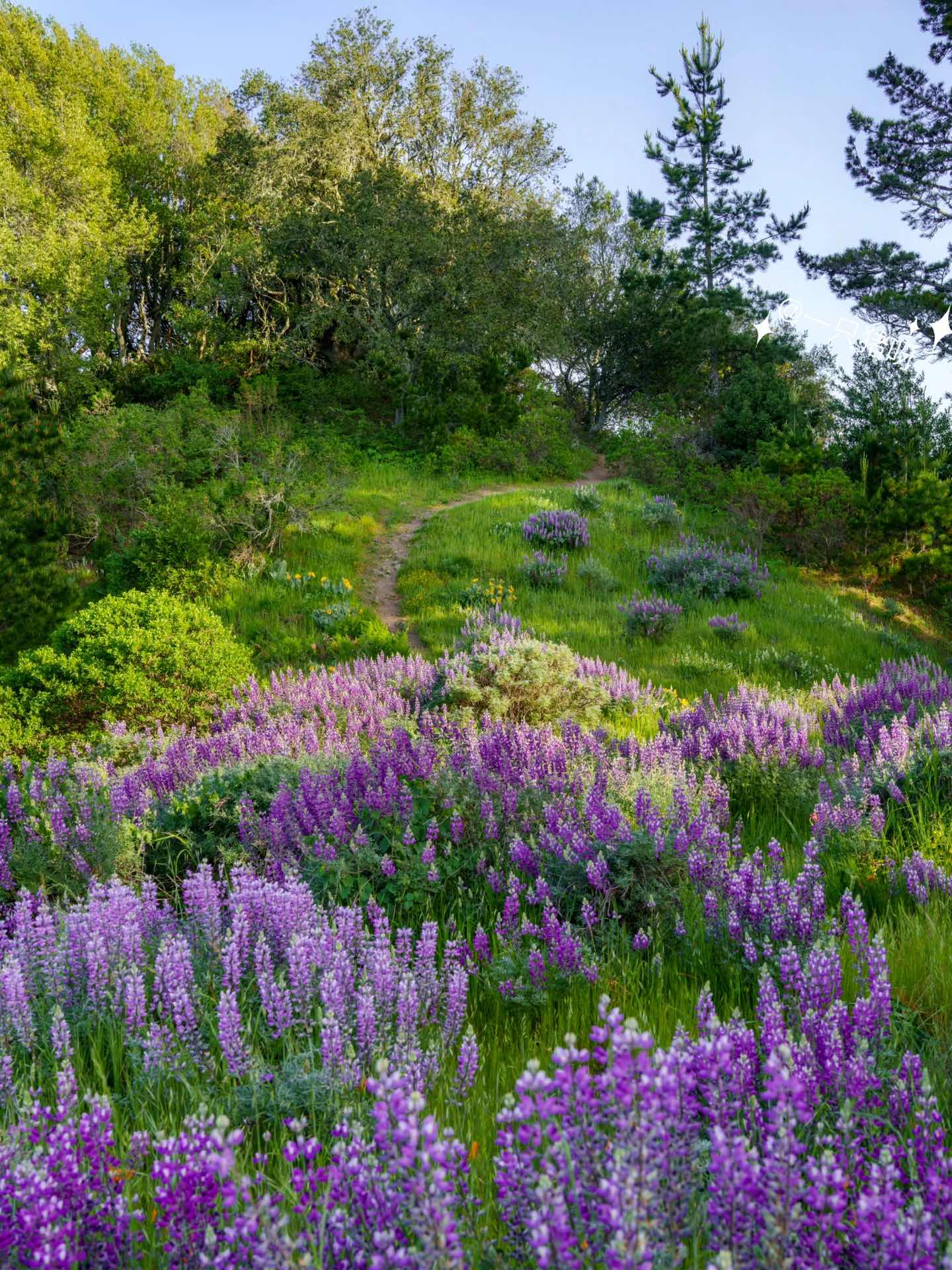
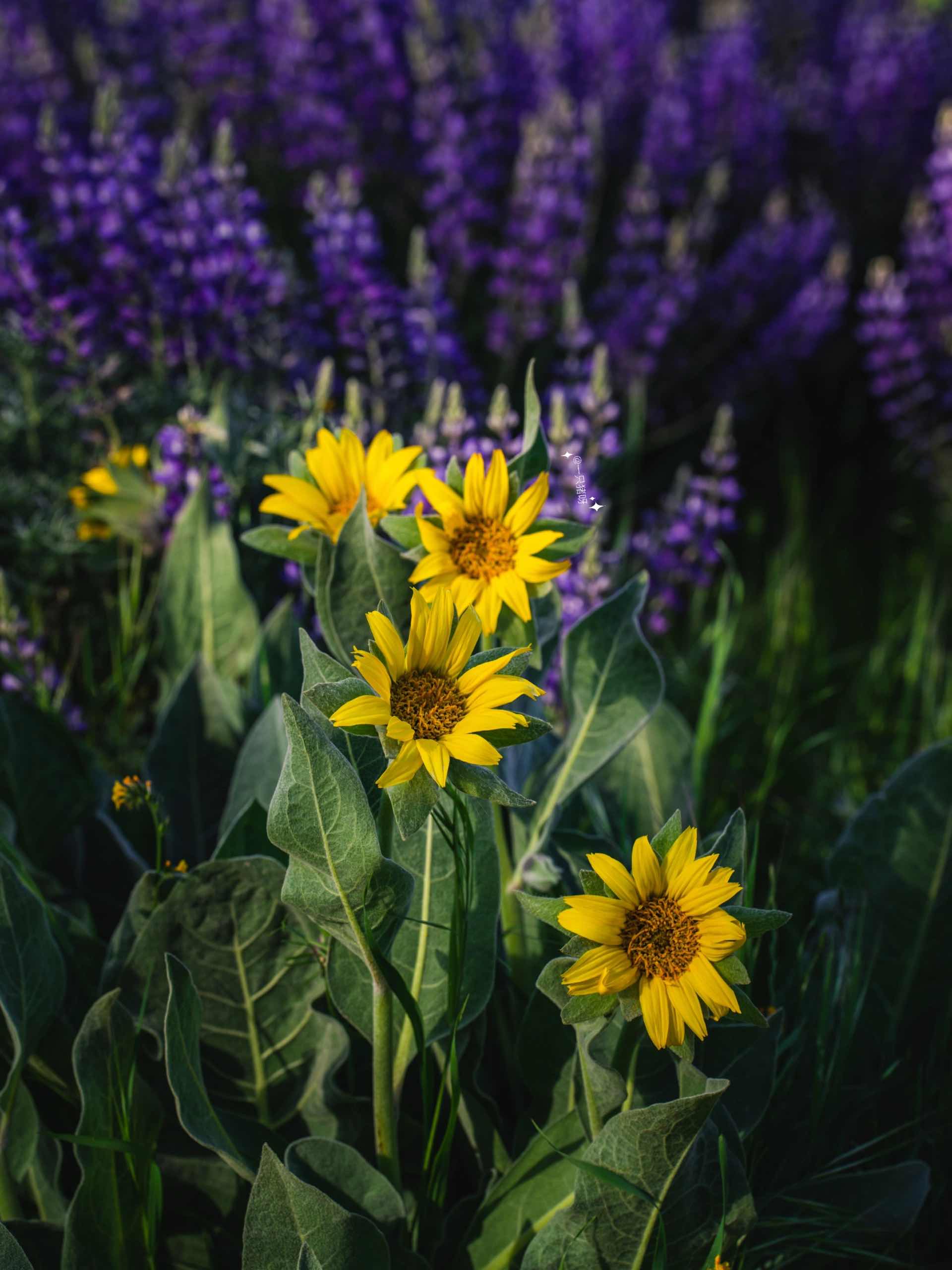
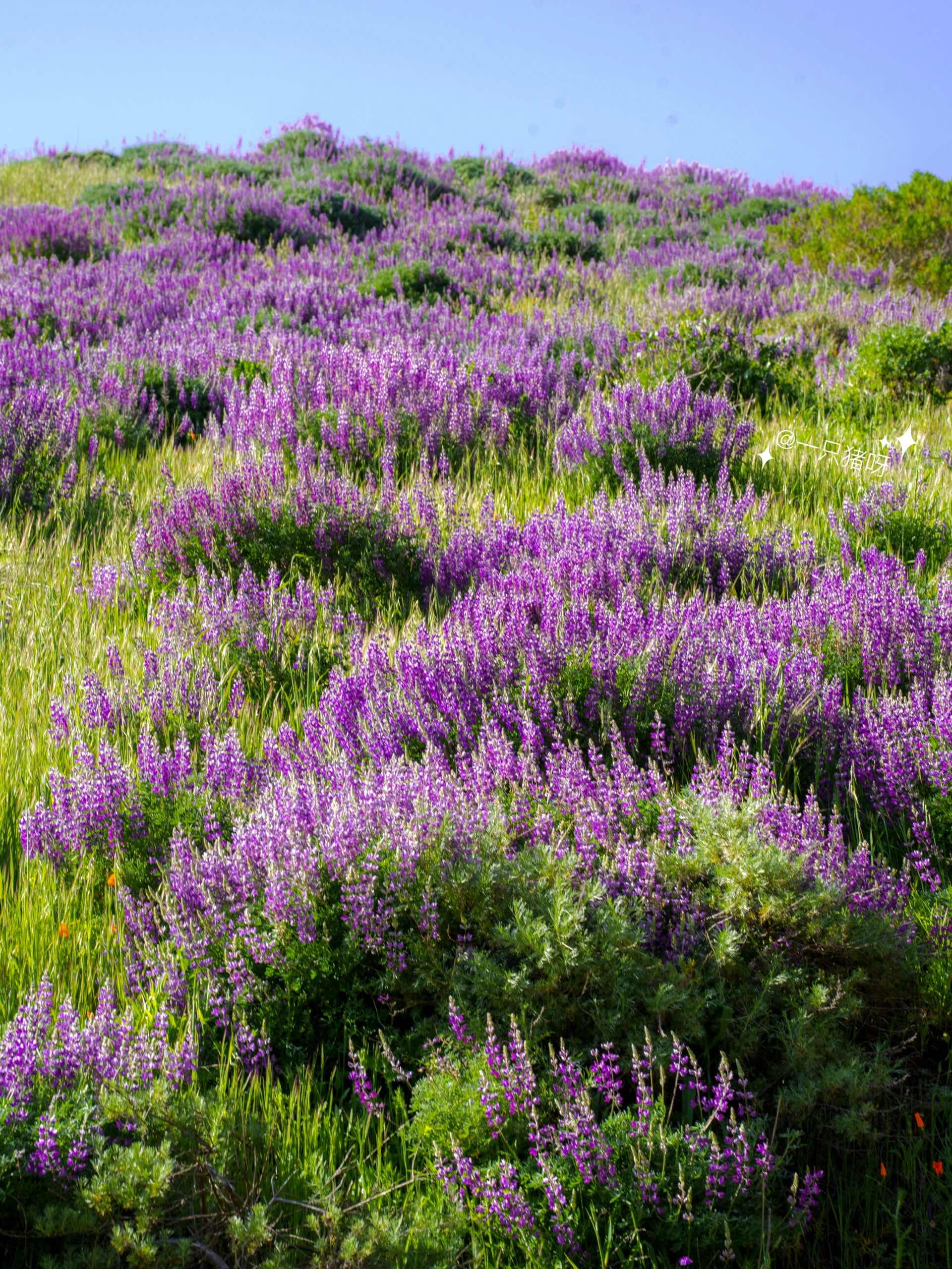
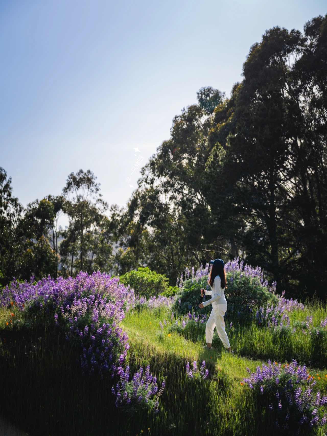
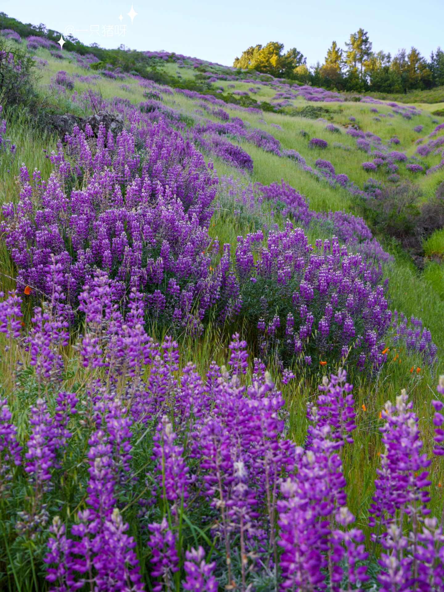
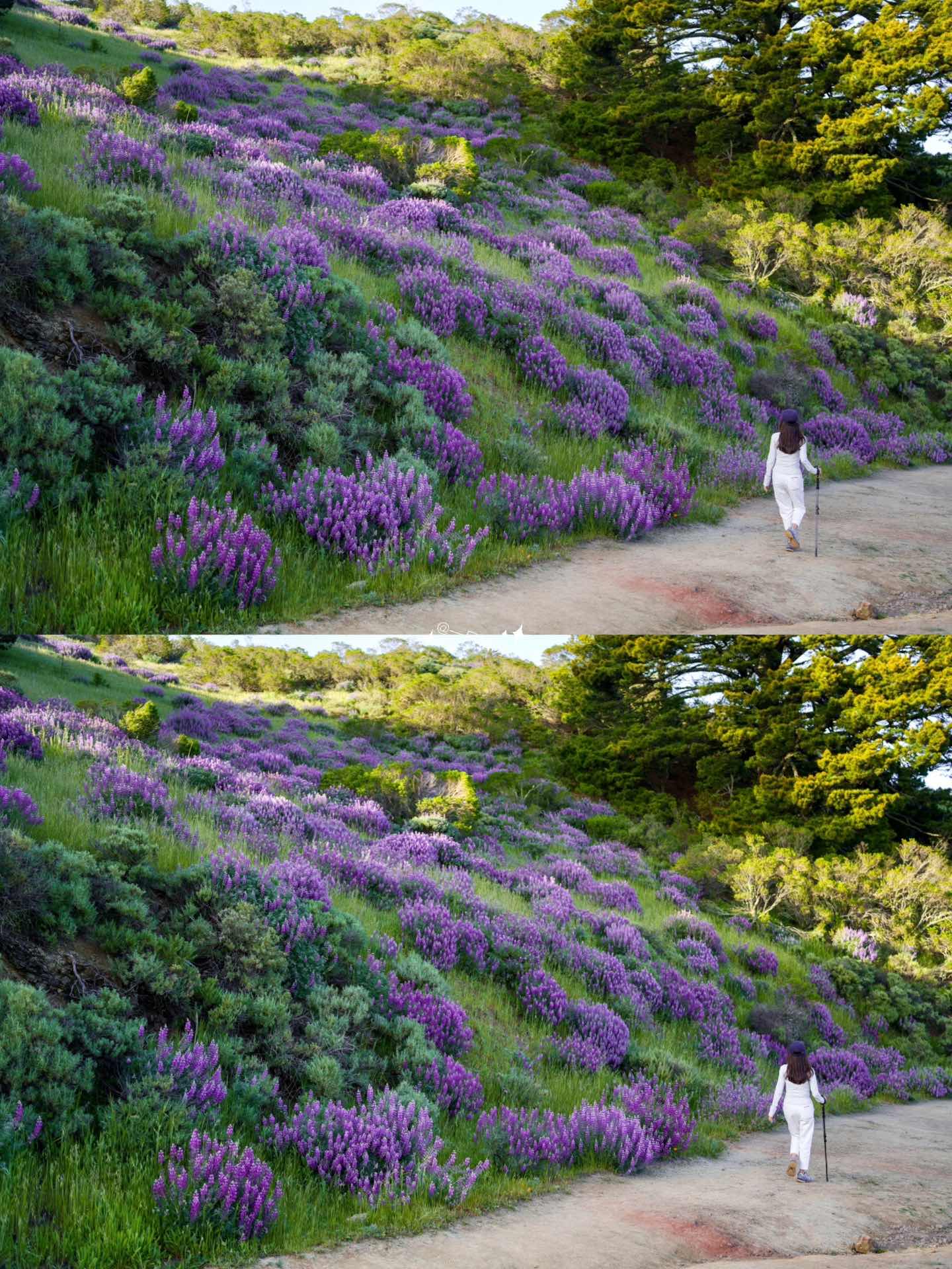
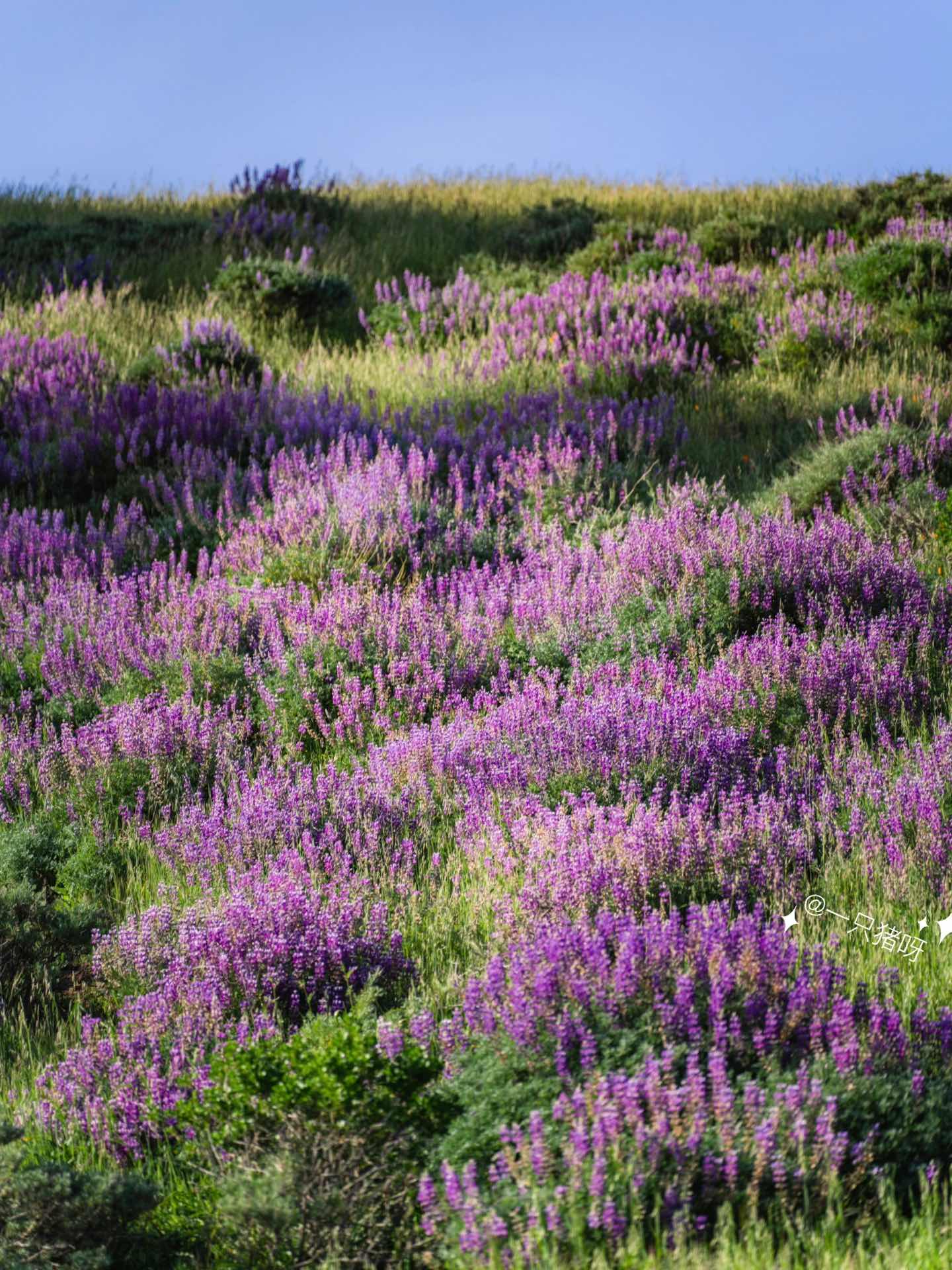
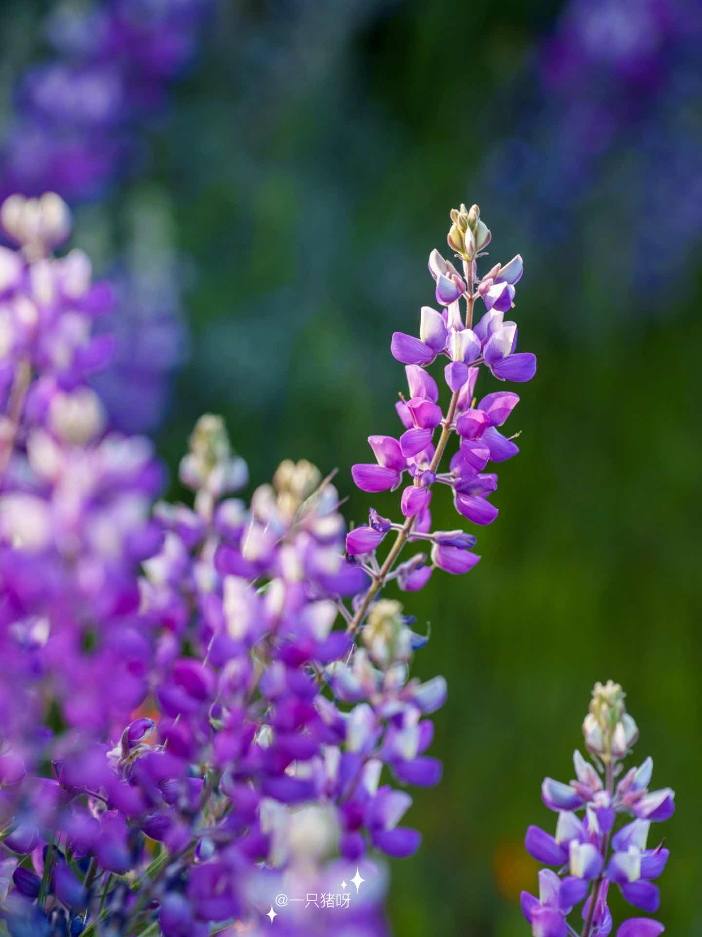
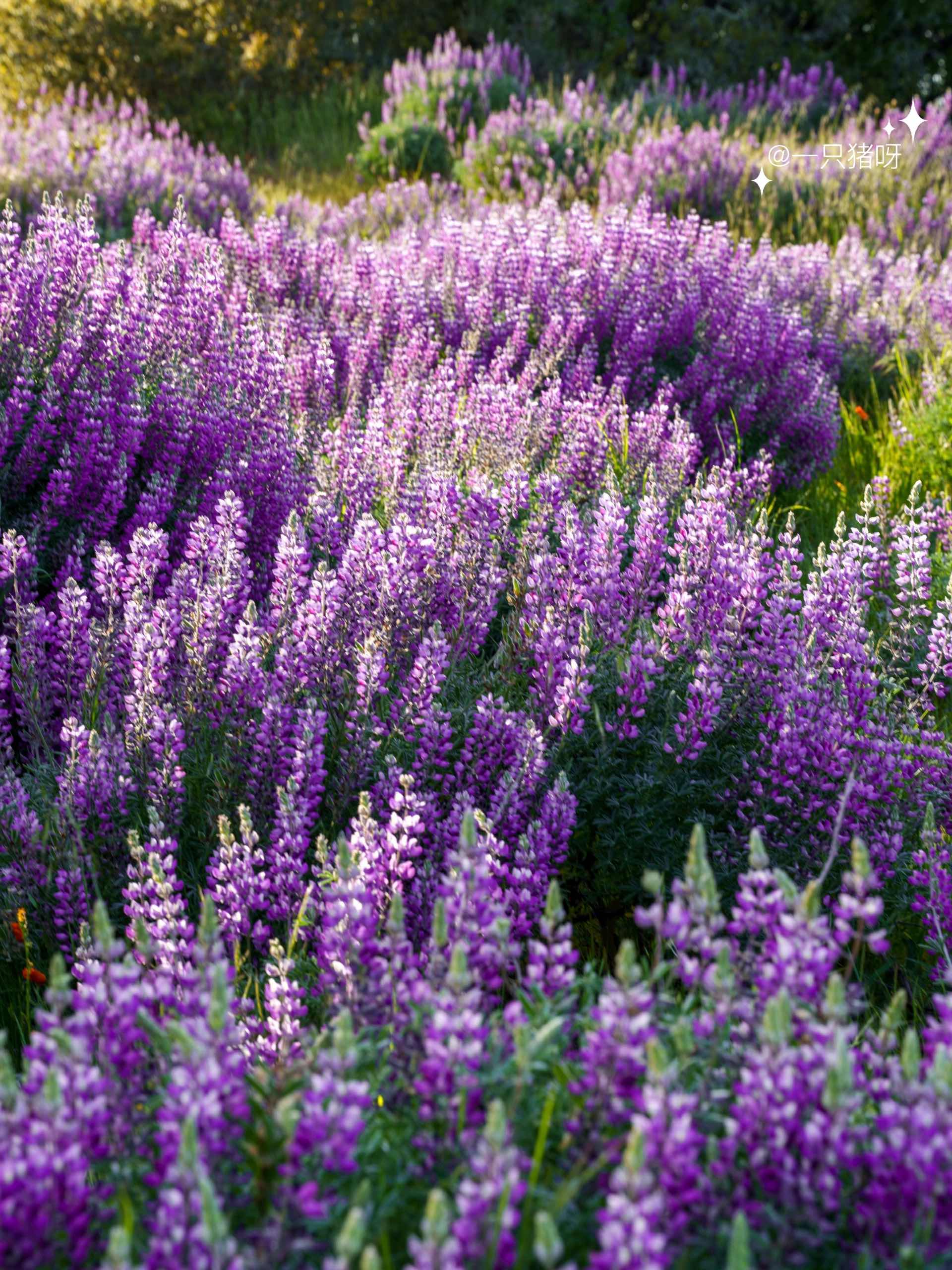
🥾 HIKE THROUGH ROBERT LOUIS STEVENSON STATE PARK 🏔️
Embark on a hike through the magnificent Robert Louis Stevenson State Park for breathtaking views of Napa Valley. This expansive park covers 5,272 acres and features the highest peak in California's Wine Country, Mt. St. Helena. Discover the unique geology and natural beauty of the park while hiking or biking along the well-marked trails. The park is named after the Scottish author, Robert Louis Stevenson, who honeymooned here and found inspiration for his travel memoir. 🥾🏞️
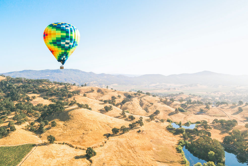
🎈 SEE THE VALLEY FROM THE SKY IN A HOT AIR BALLOON ☁️
Soar above Napa Valley's beautiful landscapes in a hot air balloon for an unforgettable experience. Napa Valley Aloft, voted "Best Hot Air Balloon Company," offers scenic flights over Yountville's iconic landscape. With FAA-certified pilots, you'll enjoy panoramic views and afterward, indulge in a first-class mimosa brunch at the nearby Ottimo restaurant owned by celebrity chef Michael Chiarello. 🎈🌄
#NapaValley #ArtClass #LakeBerryessa #PetrifiedForest #Hiking #HotAirBalloon #ScenicViews #OutdoorActivities #ExploreCalifornia #WineCountry