When Japan’s Tokaido Road Unfurled Across 117 Feet of Painted Paper
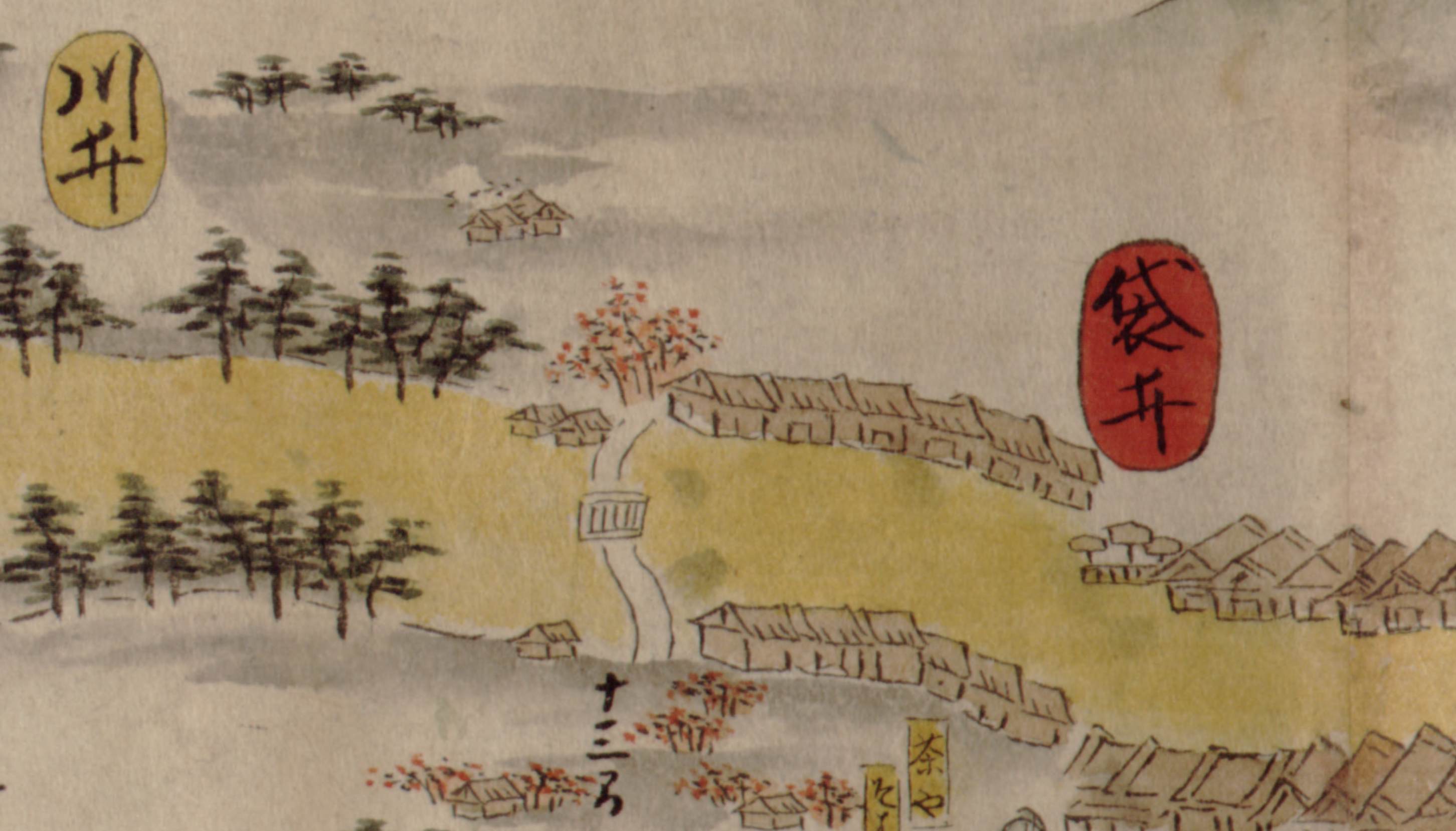
Centuries before GPS and satellite views, travelers in Japan relied on a map so long it could stretch across a room—the Tokaido bunken-ezu. Crafted in the 17th century, this 117-foot pictorial scroll charted the famed route from Edo (modern Tokyo) to Kyoto, blending art and navigation in one sweeping panorama. Surveyor Ochikochi Doin meticulously measured the 319-mile journey in 1651, while artist Hishikawa Moronobu brought it to life in ink nearly 40 years later. The map divides the Tokaido into five sections, marking 53 post towns where weary walkers could rest and refuel. Landmarks like Mount Fuji appear from multiple perspectives, guiding travelers visually as much as geographically. What began as a practical road guide now stands as a testament to Japan’s artistic ingenuity and the enduring allure of the open road—proof that every epic journey once started with a single, hand-drawn line. #JapaneseArt #CulturalHeritage #HistoricalMaps #Culture
2025-06-18
write a comment...